©Walter Strobl, www.audivision.atOpening hoursCheck opening hoursLeisure activitiesPfarrkirche HollenthonPfarrplatz 1, 2812 HollenthonRead more
©Walter Strobl, www.audivision.atOpening hoursCheck opening hoursLeisure activitiesWehrkirche BrombergHauptstraße, 2833 BrombergRead more
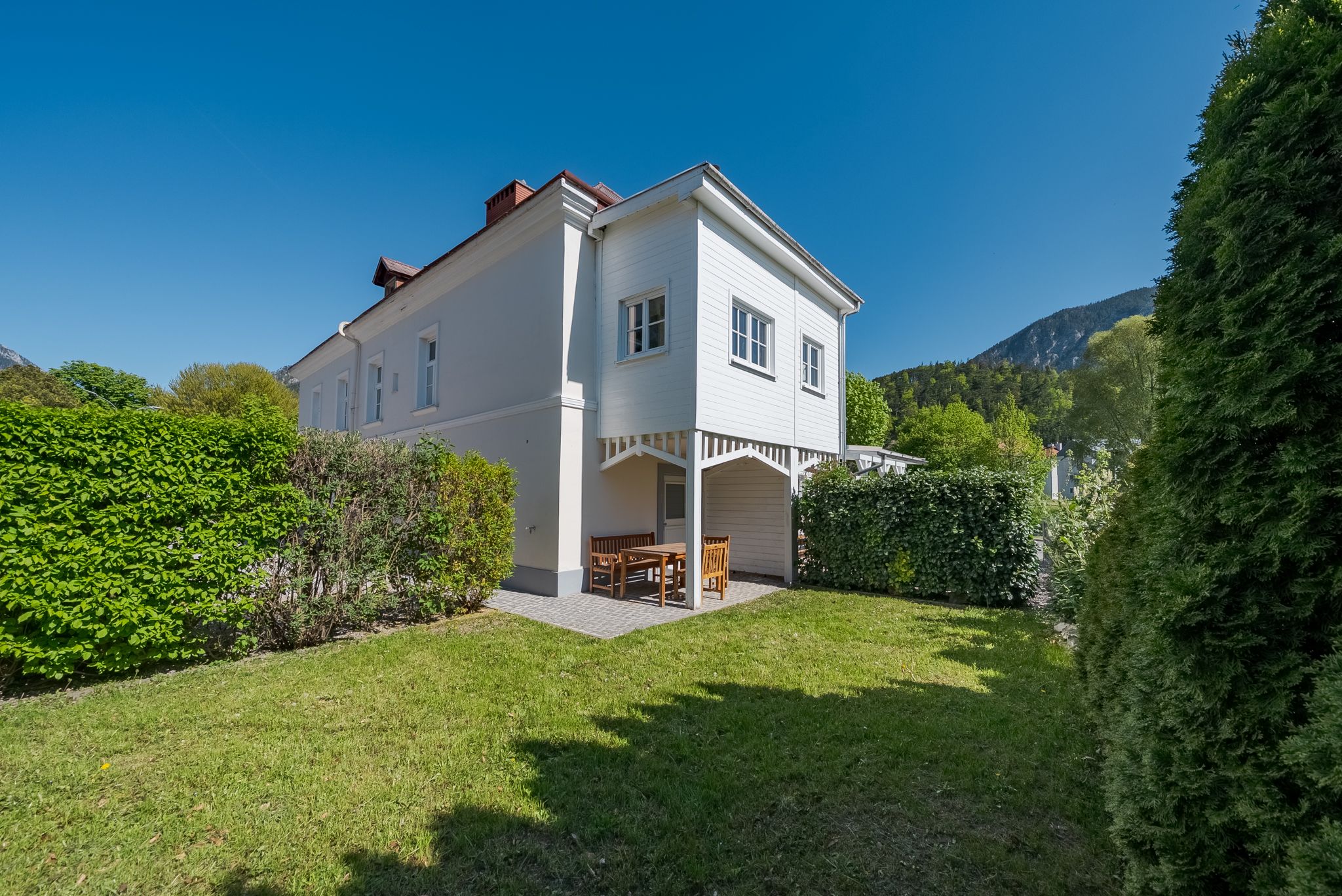
©Wiener Alpen / Christian KremslAccommodationFerienwohnung SemlerZiehrerweg 39, 2734 Puchberg am SchneebergRead more
Opening hoursCheck opening hoursInfrastructureErlebnisspielplatz EntenfussAm See, 2851 KrumbachRead more
©TVB Semmering-Rax-SchneebergOpening hoursCheck opening hoursGastronomyPäuschenGasteil 5a, 2640 GasteilRead more
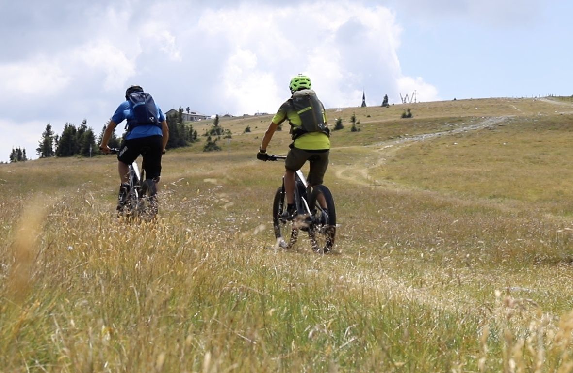
©Wexl TrailsDistance17,36 kmDuration2:00 hTourSteyersberger Schwaig - Hochwechsel - Steyersberger SchwaigMountain bike tourRead more
©Walter Strobl, www.audivision.atOpening hoursCheck opening hoursLeisure activitiesWehrkirche KrumbachMarktstraße 17, 2851 KrumbachRead more
©Stadtgemeinde TernitzOpening hoursCheck opening hoursLeisure activitiesErlebnisbad "blub"Brückengasse 2, 2630 TernitzRead more
©Stadtgemeinde TernitzOpening hoursCheck opening hoursLeisure activitiesStadtpark TernitzHans Czettel-Platz 1, 2630 TernitzRead more
©Wiener Alpen in Niederösterreich - AlpannoniaDistance5,90 kmDuration1:51 hTouralpannonia - Regionale Route KrumbachHiking tour Starting from Krumbach CenterRead more
©Wiener Alpen in Niederösterreich - AlpannoniaDifficultyModerateDistance5,01 kmDuration2:16 hTouralpannonia - Regionale Route Rettenegg - PretulHiking tour Starting from RetteneggRead more