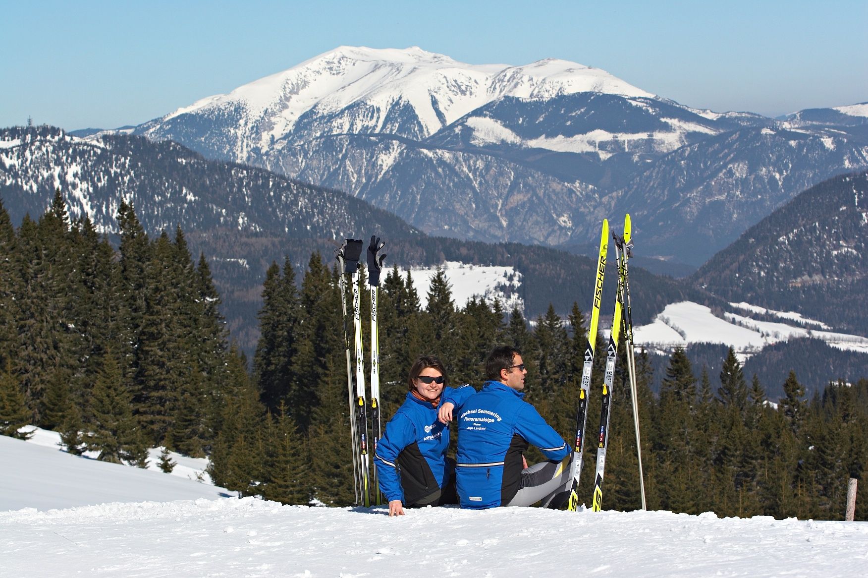
©Wiener Alpen in Niederösterreich - Semmering RaxDifficultyDifficultDistance13,70 kmDuration3:07 hClosedLiechtenstein- PanoramaloipeTour Starting from Panoramahotel Wagner - Trafik PitzlRead more
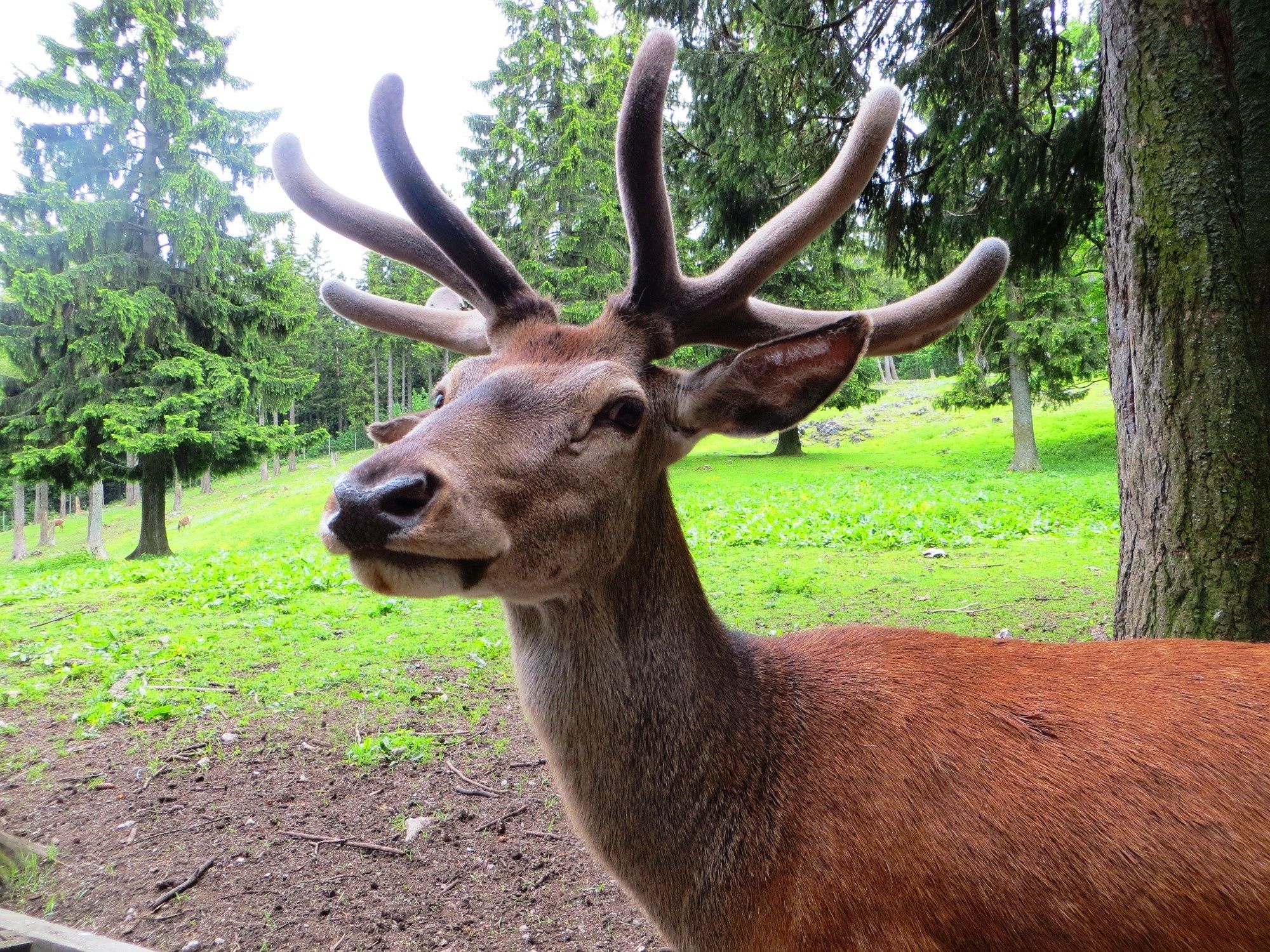
©Wiener Alpen in Niederösterreich - Schneeberg Hohe WandDifficultyEasyDistance2,19 kmDuration0:52 hNature Park Hohe Wand - Animal Enclosure Circular WalkHiking tour Starting from Nature Park Center - Kleine Kanzelstraße 241, 2724 Hohe WandRead more
©©Gemeinde SchrattenbachDifficultyEasyDistance2,97 kmDuration1:00 hHubertus round - SchrattenbachHiking tour Starting from at the transformer station, near the sports field in RosentalRead more
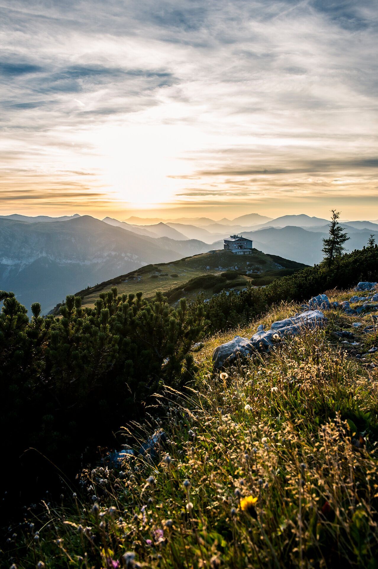
©Niederösterreich Werbung/Robert HerbstDifficultyDifficultDistance17,93 kmDuration5:50 hHut-hopping on the Raxalpe (Variant 1)Hiking tour Starting from Hirschwang an der Rax, Rax cable car valley stationRead more
©Wiener Alpen/Philipp SchönauerDifficultyDifficultDistance141,66 kmDuration5:30 hRoad cycling route through the Wiener AlpenCycling tour Starting from Bad Schönau in front of the churchRead more
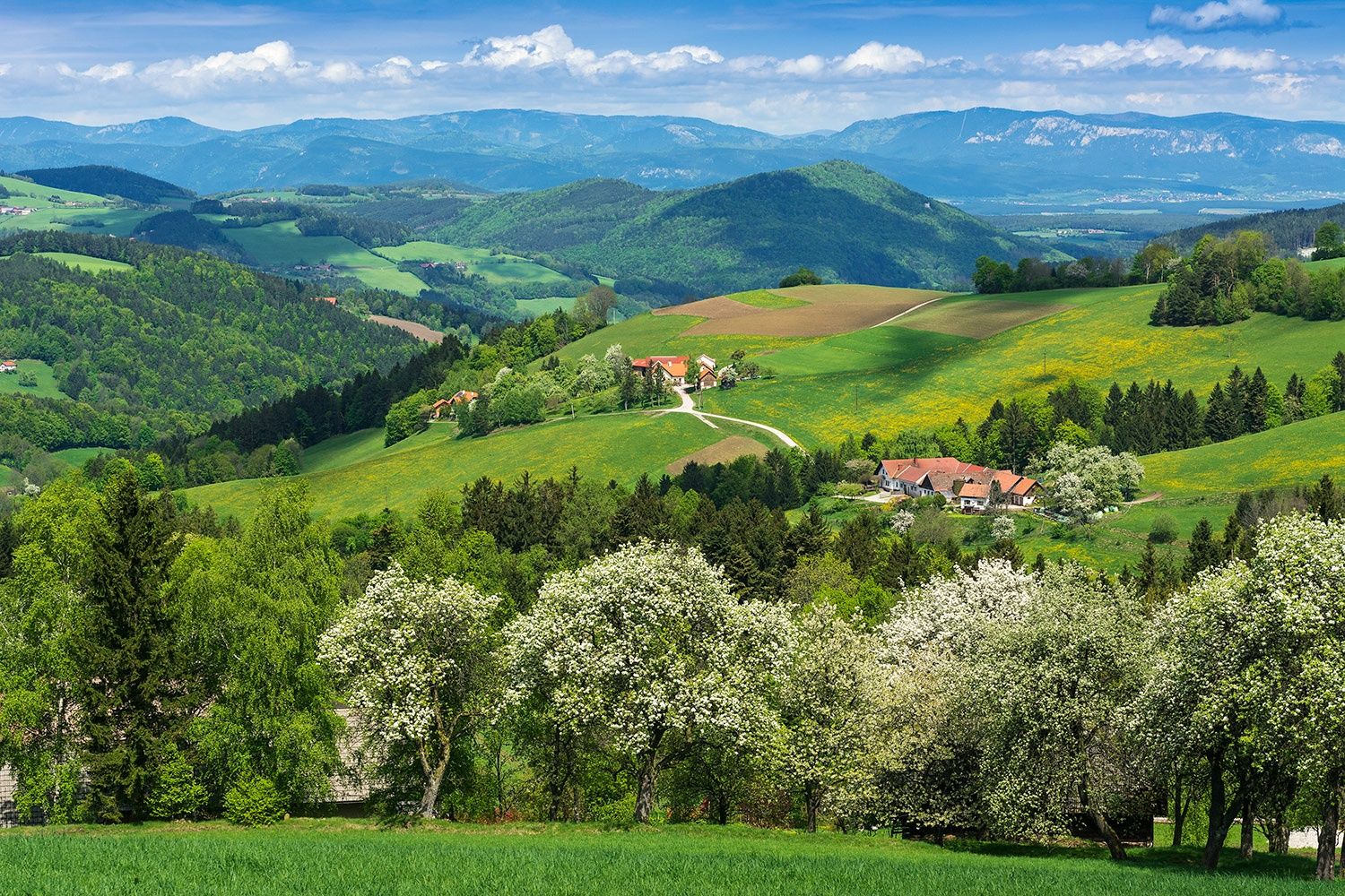
©Wiener Alpen, Foto: www.audivision.atDifficultyModerateDistance26,57 kmDuration8:00 hCulinary hike through the Bucklige WeltHiking tour Starting from Krumbacher FarmRead more
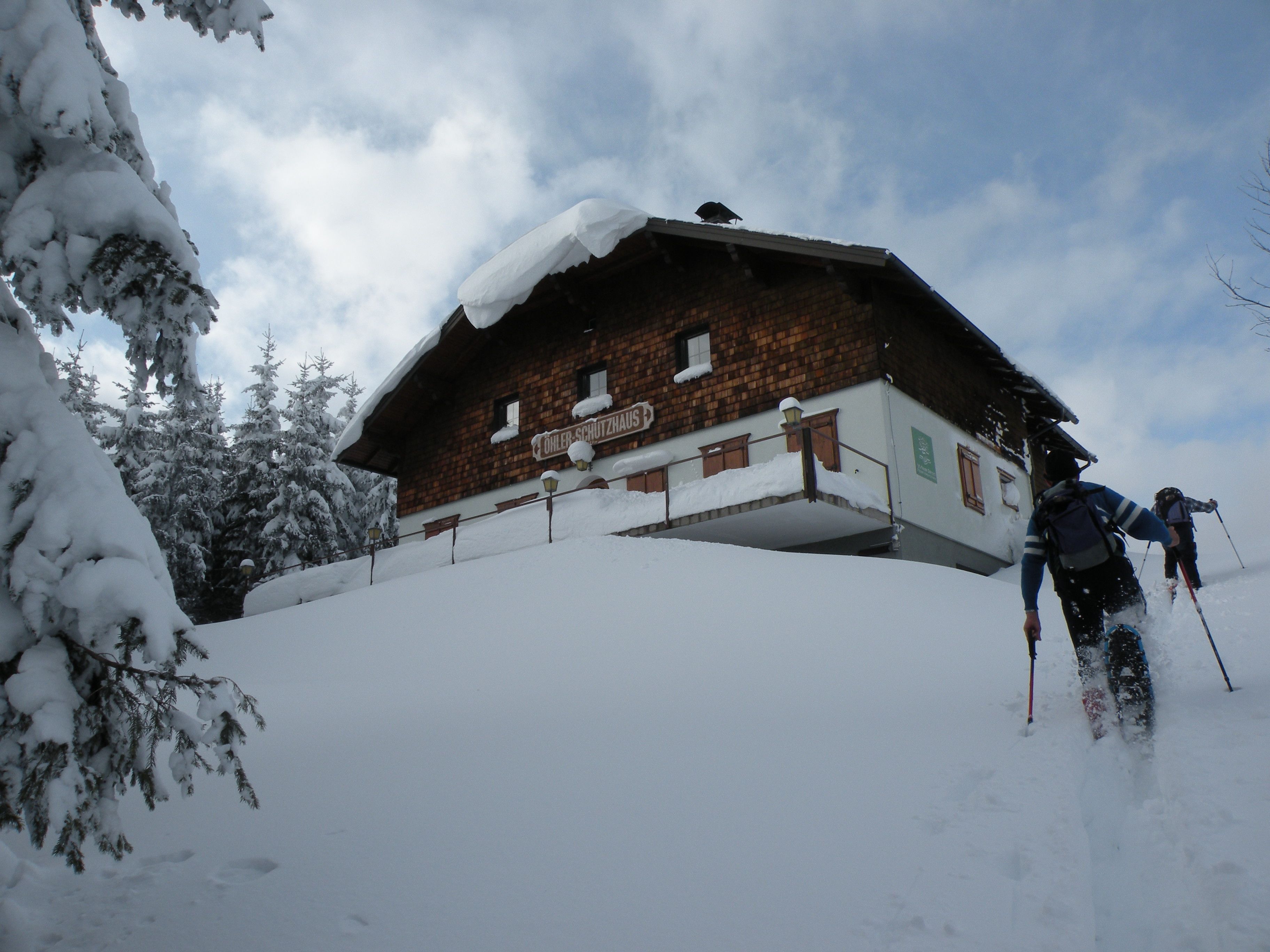
©Wiener Alpen / Maria KoehlerDifficultyDifficultDistance18,12 kmDuration5:30 hSnowshoe hike Öhlerschutzhaus Puchberg am SchneebergTour Starting from Puchberg am Schneeberg Tourist OfficeRead more
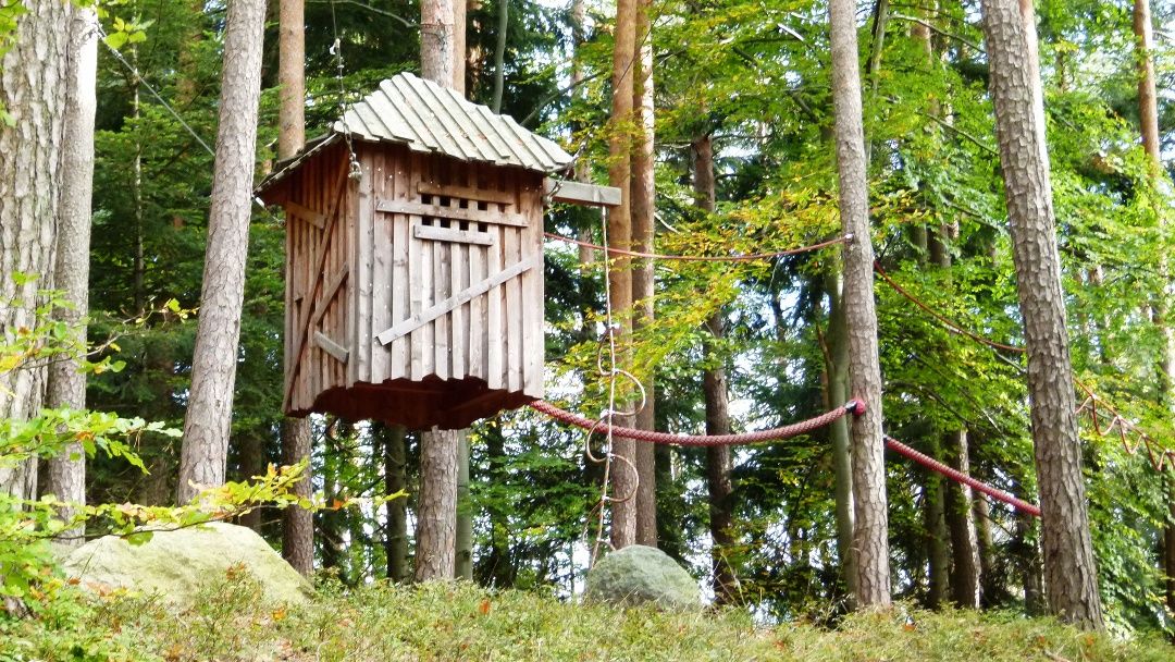
©Wiener AlpenDifficultyModerateDistance8,63 kmDuration3:00 hPlayground pathHiking tour Starting from Church square LichteneggRead more
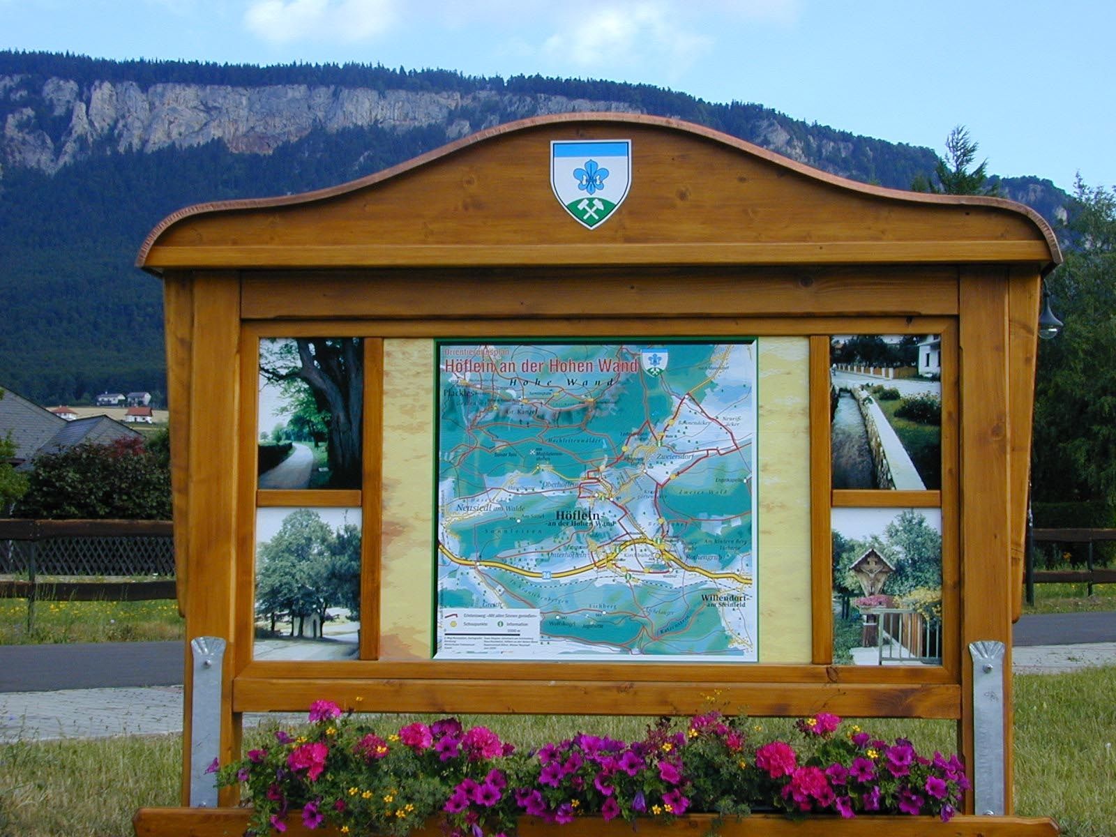
©Gemeinde Höflein an der Hohen WandDifficultyModerateDistance9,79 kmDuration3:00 hEnjoy with all your sensesHiking tour Starting from Municipal office Höflein an der Hohen WandRead more
©Wiener Alpen in NiederösterreichDistance150,70 kmDuration2:45 hOldtimertour- "Sanfte Ebenen und 1000 Hügel"Tour Starting from LanzenkirchenRead more
©© Wiener Alpen in NÖ Tourismus GmbH, Foto: Andreas KranzmayerDifficultyEasyDistance6,04 kmDuration1:45 hWAB - Regional Route D: Bad Schönau - KrumbachHiking tour Starting from Tourist office Bad Schönau in the town centerRead more
©©NÖW, Foto: Michael LiebertDifficultyModerateDistance3,82 kmHike to the Pollereshütte (from Maria Schutz)Hiking tour Starting from Maria Schutz churchRead more