








• ©Wiener Alpen/Martin Fülöp

Bad Schönau health resort

Holidays with a purpose

Bad Schönau: A small town in the Bucklige Welt region with surprising holiday offerings.

Tessa Erker-Tegetthoff, intendantin des Fabelhaft Festivals, sitzt auf einem goldenen Sessel auf einer grünen Wiese.
©© Wiener Alpen/Christian Kremsl

Festival Fabelhaft Niederösterreich

The International Storytelling Festival takes place once a year in Bad Schönau.

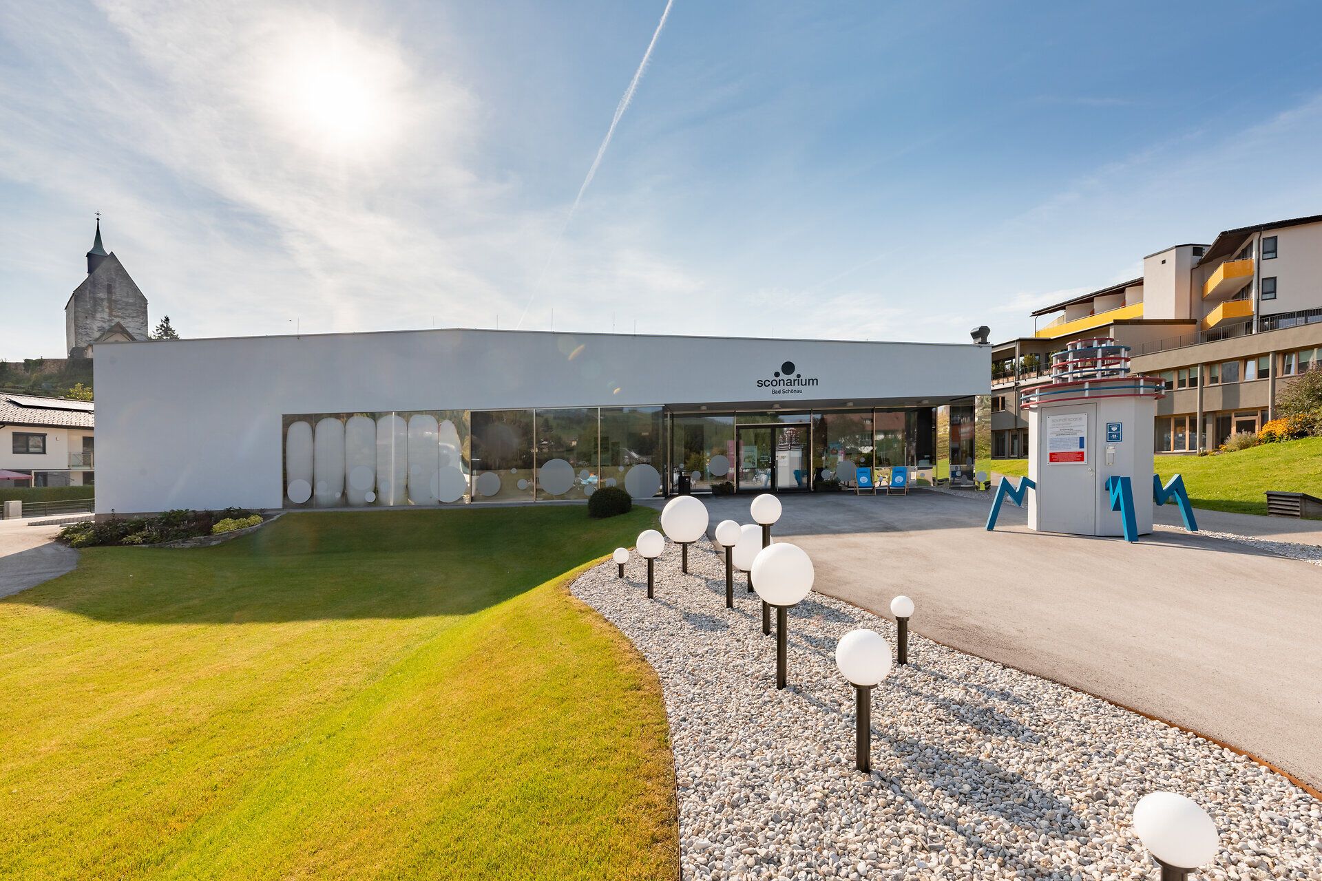
And because relaxation also requires inspiration, the Sconarium attracts visitors all year round with cultural events: big and small names from the cultural scene take to the stage and entertain with cabaret, readings and concerts. The interactive exhibition introduces visitors to the healing properties of the location: natural carbon dioxide gas.

  • Wiesmath parish church with tower, stone cemetery wall and clock against a blue sky.
    ©Walter Strobl, www.audivision.at

    Pfarrkirche Wiesmath

    Hauptplatz 1, 2811 Wiesmath
  • Rustic fortified church in Bromberg with a broad tower and cemetery in the foreground.
    ©Walter Strobl, www.audivision.at

    Wehrkirche Bromberg

    Hauptstraße, 2833 Bromberg
  • Das Paradieschen

    Markt 138, 2842 Edlitz
  • Erlebnisspielplatz Entenfuss

    Am See, 2851 Krumbach
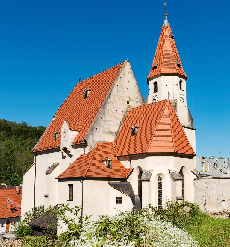
  • Edlitz fortified church with many side sections, red tiled roofs, a pointed tower and blue sky.
    ©Walter Strobl, www.audivision.at

    Wehrkirche Edlitz

    Markt 1, 2842 Edlitz
  • Scheiblingkirchen parish church with round tower and red roof against a blue sky.
    ©Walter Strobl, www.audivision.at

    Pfarrkirche Scheiblingkirchen

    Schulgasse 29, 2831 Scheiblingkirchen
  • An educational bee trail with information boards and beehives under flowering trees.
    ©wiesi

    Bienenlehrpfad Pitten

    2823 Pitten
  • Krumbach Museum Village
    ©Wiener Alpen in Niederösterreich
    • DifficultyEasy
    • Distance76,06 km
    • Duration5:25 h

    Museumsradeln - Von Wiener Neustadt in die Bucklige Welt und in´s Wechselland

    Cycling tour Starting from Wiener Neustadt Train Station
  • Koll Bäckerei Café - Kirchschlag

    Hauptplatz 3, 2860 Kirchschlag in der Buckligen Welt
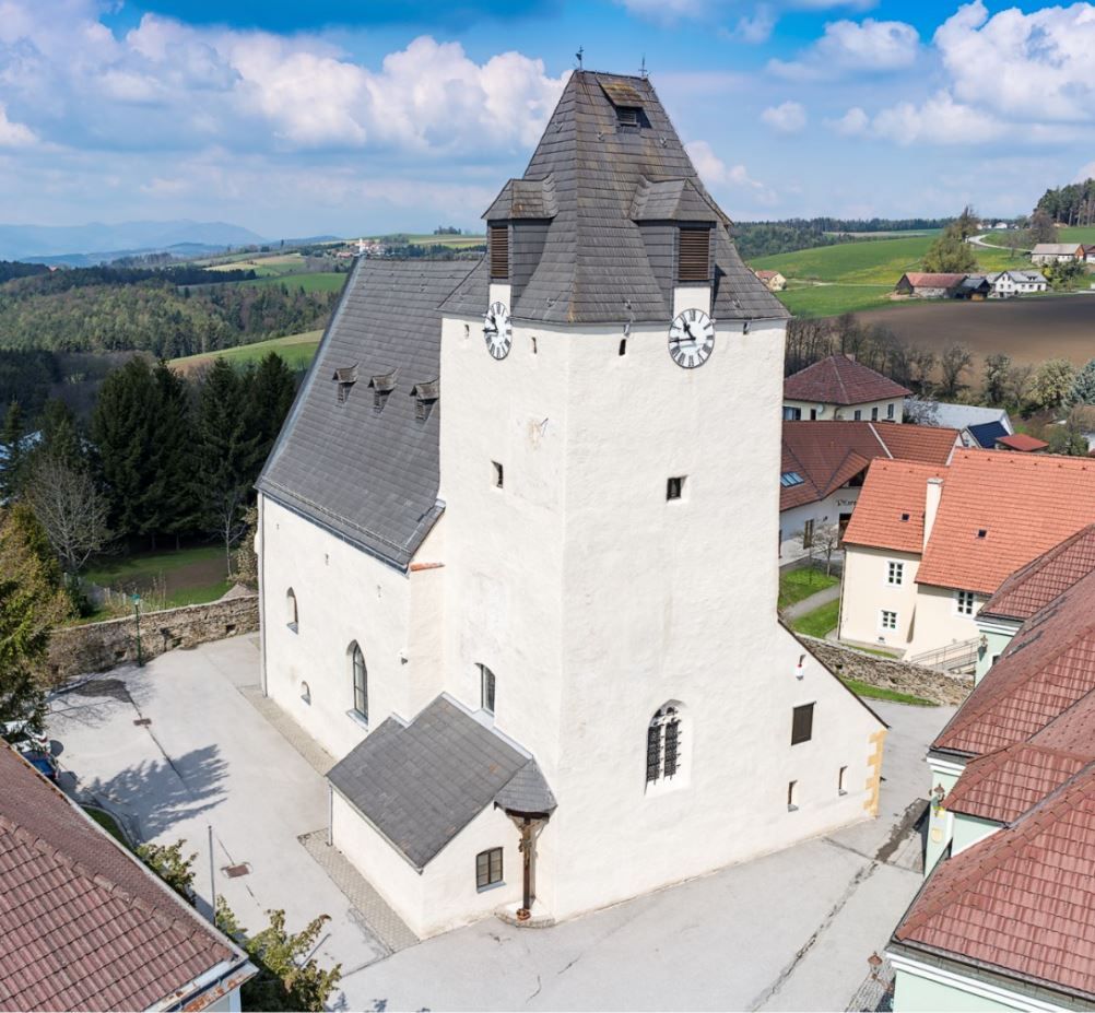
  • Lichtenegg fortified church with massive clock tower and surrounding buildings.
    ©Walter Strobl, www.audivision.at

    Wehrkirche Lichtenegg

    Hauptstraße 20, 2813 Lichtenegg
  • Hollenthon parish church with onion dome and blue sky.
    ©Walter Strobl, www.audivision.at

    Pfarrkirche Hollenthon

    Pfarrplatz 1, 2812 Hollenthon
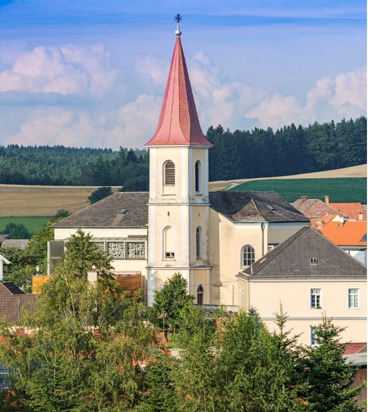
  • Hochwolkersdorf parish church with red, pointed tower roof and surrounding landscape.
    ©Walter Strobl, www.audivision.at

    Pfarrkirche Hochwolkersdorf

    Kirchenplatz 1, 2802 Hochwolkersdorf (Dorf)
  • Yellow building with the inscription 'Restaurant Pizzeria Zum Spitz'.
    ©Wiener Alpen

    Pizzeria Restaurant zum Spitz

    Bahnstraße 23, 2824 Seebenstein
  • Climbing plants in pots on a patio in front of a house, with a blue sky in the background.
    ©Oliver Strametz

    Wohnung in einer kleinen Burg

    W. Hamburger-Weg 99, 2823 Pitten
  • Fortified church in Bad Schönau in front of a green landscape.
    ©Walter Strobl, www.audivision.at

    Wehrkirche Bad Schönau

    Erlenbachgasse 5, 2853 Bad Schönau
  • Thernberg parish church with tower and tree in the foreground.
    ©Walter Strobl, www.audivision.at

    Pfarrkirche Thernberg

    Markt 3, 2832 Thernberg
  • Historical drawing of the Katzelsdorf parish church with surrounding buildings and gardens.
    ©Kupferstich

    Pfarrkirche Katzelsdorf

    Eichbüchler Straße 97, 2801 Katzelsdorf
  • Aerial view of the fortified church of Krumbach in a rural setting with green fields and blue sky.
    ©Walter Strobl, www.audivision.at

    Wehrkirche Krumbach

    Marktstraße 17, 2851 Krumbach
  • A rustic snack with sausage, cheese, bread and spreads on a wooden plate.
    ©altes-kellerhaus.at

    Altes Kellerhaus

    Kellerstraße 29, 2801 Katzelsdorf
  • Historic building with ornate entrance and church in the background.
    ©Thermengemeinden

    Pfarrhof Pitten

    Alleegasse 57, 2823 Pitten
  • A well-tended rose garden with red and white roses and a castle on a hill in the background.
    © Im Auftrag von Newman& Co fotografie& bildkonzept KG

    Rosengarten Kirchschlag

    Passionsspielstraße, 2860 Kirchschlag in der Buckligen Welt
  • Entrance to the indoor pool with sauna in Scheiblingkirchen with wood paneling and the inscription "hallenbad sauna"
    ©Wiener Alpen

    Sauna und Hallenbad Scheiblingkirchen

    Badgasse 100, 2831 Scheiblingkirchen
  • Interior view of a museum room with historical maps and weapons on the walls, a large old map is drawn on the floor
    ©Wiener Alpen, Christian Kremsl

    Wehrkirchendokumentation Edlitz

    2842 Edlitz
  • People in the Seebenstein park pool, some on the lawn, others in the pool. A diving tower can be seen.
    ©Ines Hattenhofer

    Parkbad Seebenstein

    Schlossweg 20, 2824 Seebenstein
  • A country lane leads past a large oak tree, next to which there is a bench, a litter garbage can and a memorial plaque. Hiking signposts are in the foreground.
    ©Marktgemeinde Bad Erlach, Harald Wrede

    Kraftpunkt innerlicher Harmoniepunkt

    2822 Bad Erlach
  • A modern village store with a wooden façade and signs, surrounded by trees.
    ©Wiener Alpen

    Dorfladen Lichtenegg

    Hauptstraße 25, 2813 Lichtenegg
  • Stained glass window in the forest with sunshine in the background.
    ©Wiener Alpen, Flotoanker - Luckerbauer

    Aufbauender Kraftpunkt Frieden

    2822 Bad Erlach
  • A quiet square with wooden benches and tables, surrounded by green plants and an ivy-covered archway.
    ©Thermengemeinden

    Kraftpunkt sicherer Schutzpunkt

    2821 Frohsdorf
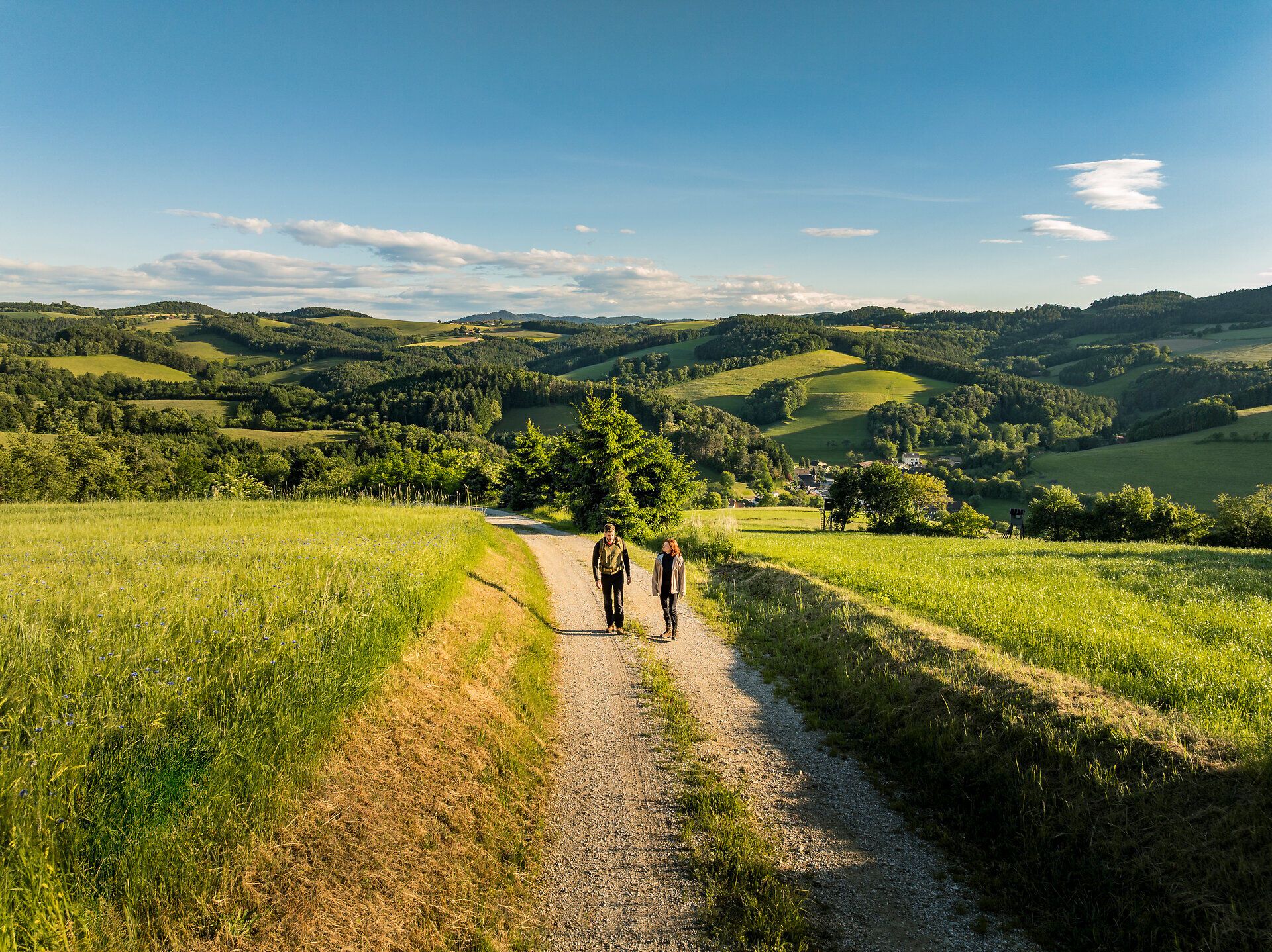
  • Two people walk along a gravel path through a hilly landscape of green fields and forests under a blue sky.
    ©Wiener Alpen / Fülöp, Kremsl

    Kraftpunkt kraftvoller Blickpunkt

    2822 Walpersbach
  • A large tree stands at the side of the road next to a country road.
    ©Thermengemeinden

    Kraftpunkt Kraftspender-Baum

    2801 Katzelsdorf
  • Elegant dining room with parquet floor, white chairs, wooden tables and decorative chandeliers.
    ©Markus Jokesz

    Das Freiherr von Joksch

    Schlossstraße 1, 2801 Katzelsdorf
  • Ofenbach parish church with red tower roof, surrounded by trees and meadows.
    ©Thermengemeinden

    Pfarrkirche Ofenbach

    Kirchenweg, 2821 Lanzenkirchen
  • Fortified church Lichtenegg
    ©Wiener Alpen in Niederösterreich
    • Distance15,37 km
    • Duration4:00 h

    Rund um's lichte Egg

    Hiking tour Starting from Lichtenegg Town Hall/Wehrkirche
  • The viewing platform at Hutwisch at sunrise
    ©Wiener Alpen
    • DifficultyDifficult
    • Distance13,14 km
    • Duration4:20 h

    Hutwisch circular hiking trail

    Hiking tour Starting from Hiking start point Bad Schönau
  • Facade of the Kirchschlag town museum with several windows and an entrance.
    ©Wiener Alpen, Foto: Bene Croy

    Stadtmuseum Kirchschlag

    Kirchenplatz 1, 2860 Kirchschlag in der Buckligen Welt
  • Map of Schwarzenbach local circular hiking trails
    ©Gemeinde Schwarzenbach
    • DifficultyModerate
    • Distance7,84 km
    • Duration2:00 h

    Schwarzenbach local circular walking routes

    Hiking tour Starting from Parking lot at the procession chapel, Celtic park, or between Kirchenwirt and Wirtshausbühne Bernhart
  • Rose garden with historic vicarage in the background
    ©Wiener Alpen, Christian Kremsl

    Rosengarten Pitten

    Alleegasse 57, 2823 Pitten
  • The illuminated stations of the Stations of the Cross made of colored glass on a winter evening with snow
    ©Thermengemeinden

    Ulrichskirche und Gläserner Kreuzweg

    Linsberger Straße, 2822 Bad Erlach
  • Winter landscape with church and mountains in the background.
    ©Wiener Alpen, Foto: Franz Zwickl

    Wallfahrtskirche Maria Schnee

    Kaltenberg 19, 2813 Lichtenegg
  • A small, green building with the inscription 'Dorfladen Box' and a painted, rural mural.
    ©dorfladenbox

    Dorfladenbox Bad Erlach

    Prof.-Sepp-Buchner-Platz 2, 2833 Bad Erlach
  • Walpersbach parish church with church tower and surrounding buildings, surrounded by trees and bushes under a blue sky.
    ©Roffeis Heinz

    Kraftpunkt positiver Energiepunkt

    2822 Walpersbach
  • Aerial view of the source of the Leitha in Lanzenkirchen with river and green vegetation.
    ©Wiener Alpen, Martin Fülöp

    Kraftpunkt ruhiger Gedankenfluss

    2821 Lanzenkirchen
  • Round church with yellow façade, surrounded by green meadow and trees, in sunny weather.
    ©Thermengemeinden

    Kraftpunkt kreativer Treffpunkt

    2822 Bad Erlach
  • Walpersbach parish church with tower and surrounding buildings, surrounded by trees and bushes under a blue sky.
    ©Roffeis Heinz

    Pfarrkirche Walpersbach

    Walpersbach 41, 2822 Walpersbach
  • dahoam

    Haselgrabenweg 3, 2812 Hollenthon
  • View through trees of a wide landscape with mountains in the background.
    ©Wiener Alpen, Martin Fülöp

    stärkender Kraftpunkt loslassen

    2801 Eichbüchl
  • Pension zum Spitz

    Hauptstraße 18, 2824 Seebenstein
  • A pond with pebbles and reeds, a bridge and colorful buildings in the background.
    ©Wiener Alpen, Schuh

    Kraftpunkt stabilisierender Erdungspunkt

    2823 Pitten
  • Historical engraving of Pitten with castle on a hill, surrounded by trees and buildings.
    ©gemeinfrei

    Historienpfad "Zeitsprünge 4000"

    Auf der Schmelz 62, 2823 Pitten
  • Mariahaus

    Ofenbach 63, 2832 Thernberg
  • Höfler am Fluss

    Wiener Neustädterstraße 2, 2822 Bad Erlach
  • Kirchschlag town museum
    ©Wiener Alpen in Niederösterreich
    • DifficultyModerate
    • Distance2,56 km
    • Duration0:45 h

    Route to the Weingartleitenhof D11

    Hiking tour Starting from Kirchschlag City Museum
  • Naturnaher Spielplatz Seebenstein

    Hauptstraße 1a, 2824 Seebenstein
  • Landscape photos of the Bucklige Welt in summer
    ©Wiener Alpen / www.romankoenigshofer.com
    • DifficultyEasy
    • Distance1,85 km
    • Duration0:30 h

    Easy path to Kirchschlag castle ruins

    Hiking tour Starting from Kirchschlag Feldgasse Playground
  • A rustic platter with bread, cheese, sausage, tomatoes, cucumbers, and radishes, with a pitcher of a beverage next to it on a wooden table outdoors. The image includes the watermark "Symbolic image."
    ©Wiener Alpen, KI generiert von Narosy Werbeagentur

    Mostschank Familie Kornfell "Binishofer"

    Pesendorf 3, 2813 Lichtenegg
  • Krumbach outdoor pool with swimming pool and diving blocks, surrounded by green landscape and buildings.
    ©SchwimmbadKrumbach©Marktgemeinde Krumbach, Foto: Franz Riegler

    Freibad Krumbach

    Badgasse 8, 2851 Krumbach
  • A wooden lookout post on a snowy hill with a hiker in the foreground and rays of sunshine through the trees.
    ©Niederösterreich Werbung, Tereza Bokrová

    Blickplatz Walderlebnisweg Gschaidt

    2852 Gschaidt
  • Rest areas at the Hutwisch
    ©Wiener Alpen
    • DifficultyDifficult
    • Distance27,54 km
    • Duration8:35 h

    Kirchschlag day route D6+D5 to Hutwisch

    Hiking tour Starting from Main square Kirchschlag i.d. Buckligen Welt
  • Panoramic view of the Kirchschlag castle ruins and the surrounding countryside.
    ©Wiener Alpen, Franz Zwickl

    Blickplatz Feuerturm

    2860 Kirchschlag in der Buckligen Welt
  • Kirchschlag castle ruins (Copyright: Alois Rasinger)
    ©Wiener Alpen in Niederösterreich
    • DifficultyDifficult
    • Distance12,53 km
    • Duration3:35 h

    Kirchschlag Circular Route D1+D12 via Stanger Berg and Lembach

    Hiking tour Starting from Main Square Kirchschlag in the Bucklige Welt
  • Aerial view with fire tower, castle ruins and the village of Kirchschlag
    ©Unknown
    • DifficultyEasy
    • Distance3,82 km
    • Duration1:30 h

    Kirchschlag forest educational trail D13

    Hiking tour Starting from Hönigwirt parking lot
  • Hiking in the Bucklige Welt
    ©Wiener Alpen / Florian Lierzer
    • DifficultyEasy
    • Distance6,43 km
    • Duration1:47 h

    Zöbern - Tut Gut Route 2

    Hiking tour Starting from Municipal office Zöbern
  • Cozy bedroom with wooden walls, double bed, mirrored closet and chandelier.
    ©Schloss Gut Ziegersberg

    Schloss Gut Ziegersberg

    Stübegg 7, 2871 Zöbern
  • In front of Katzelsdorf Castle
    ©Wiener Alpen in Niederösterreich - Bad Erlach
    • DifficultyModerate
    • Distance16,33 km
    • Duration4:20 h

    Rosalia circular hiking route - stage from Wr. Neustadt to Eichbüchl

    Hiking tour Starting from Kasematten in Wiener Neustadt
  • Edlitz outdoor pool with swimming pool, slide and volleyball court in a rural setting.
    ©Gemeinde Edlitz

    Freibad Edlitz

    Königsberg, 2842 Thomasberg
  • weather-trail-hollenthon-cornelia-schuh-9_web
    ©Wiener Alpen, Schuh

    Wetterlehrpfad Hollenthon

    2812 Hollenthon
  • A cozy dining room with a wood-burning stove, laid tables and flowers on the tables.
    ©Nicole Heiling
    • DifficultyDifficult
    • Distance16,11 km
    • Duration4:00 h

    Kirchschlag circular route D2 via Lembach and herbal hostess Gerda Stocker

    Hiking tour Starting from Main square Kirchschlag in the Bucklige Welt
  • Kirchschlager bee & plant trail
    ©Wiener Alpen in Niederösterreich
    • DifficultyEasy
    • Distance0,67 km
    • Duration30:00 h

    Kirchschlag bee & plant educational trail

    Hiking tour Starting from "On hiking trail D2 between Kirchschlag and Lembach"
  • Bocksrucker 2

    Katharina Bocksrucker – Gundelkraut

    Hackbichl, 2802 Hochwolkersdorf (Dorf)
  • At the Glass Way of the Cross in Bad Erlach
    ©Wiener Alpen in Niederösterreich - Bad Erlach
    • DifficultyModerate
    • Distance20,06 km
    • Duration5:25 h

    Rosalia circular hiking route - stage Klingfurth to Pitten

    Hiking tour Starting from Hendling Guesthouse, Klingfurth
  • nextbike-Verleihstation Katzelsdorf / Zinnfigurenwelt

    Hauptstraße 69, 2801 Katzelsdorf
  • Waldspielplatz Lichtenegg

    Waldspielplatz Lichtenegg, 2813 Lichtenegg
  • Hiking in the Bucklige Welt
    ©Wiener Alpen / Florian Lierzer
    • DifficultyEasy
    • Distance4,17 km
    • Duration1:13 h

    Zöbern - Tut Gut Route 1

    Hiking tour Starting from Zöbern Municipal Office
  • On the Rosalia circular hiking trail past the cathedral in Wiener Neustadt
    ©Wiener Alpen in Niederösterreich - Bad Erlach
    • DifficultyModerate
    • Distance19,04 km
    • Duration4:35 h

    Rosalia Circular Route - Stage from Pitten to Wr. Neustadt

    Hiking tour Starting from Gasthof zur alten Schule, Pitten
  • Am Bener near Klingfurth/Walpersbach
    ©Wiener Alpen in Niederösterreich - Bad Erlach
    • DifficultyModerate
    • Distance26,81 km
    • Duration7:45 h

    Rosalia circular route - stage Eichbüchl to Klingfurth

    Hiking tour Starting from Görg Eichbüchl Restaurant
  • Wohnen im Atelier

    Steinbergstraße 1, 2820 Walpersbach
  • Aerial view of a Celtic village with wooden houses and a lookout tower, surrounded by woods and fields.
    ©Wiener Alpen, Christian Kremsl

    Johann Giefing Aussichtsturm

    Am Keltenwall 1, 2803 Schwarzenbach
  • Spielplatz Zillingdorf

    Josef-Jelem-Platz 6, 2492 Zillingdorf
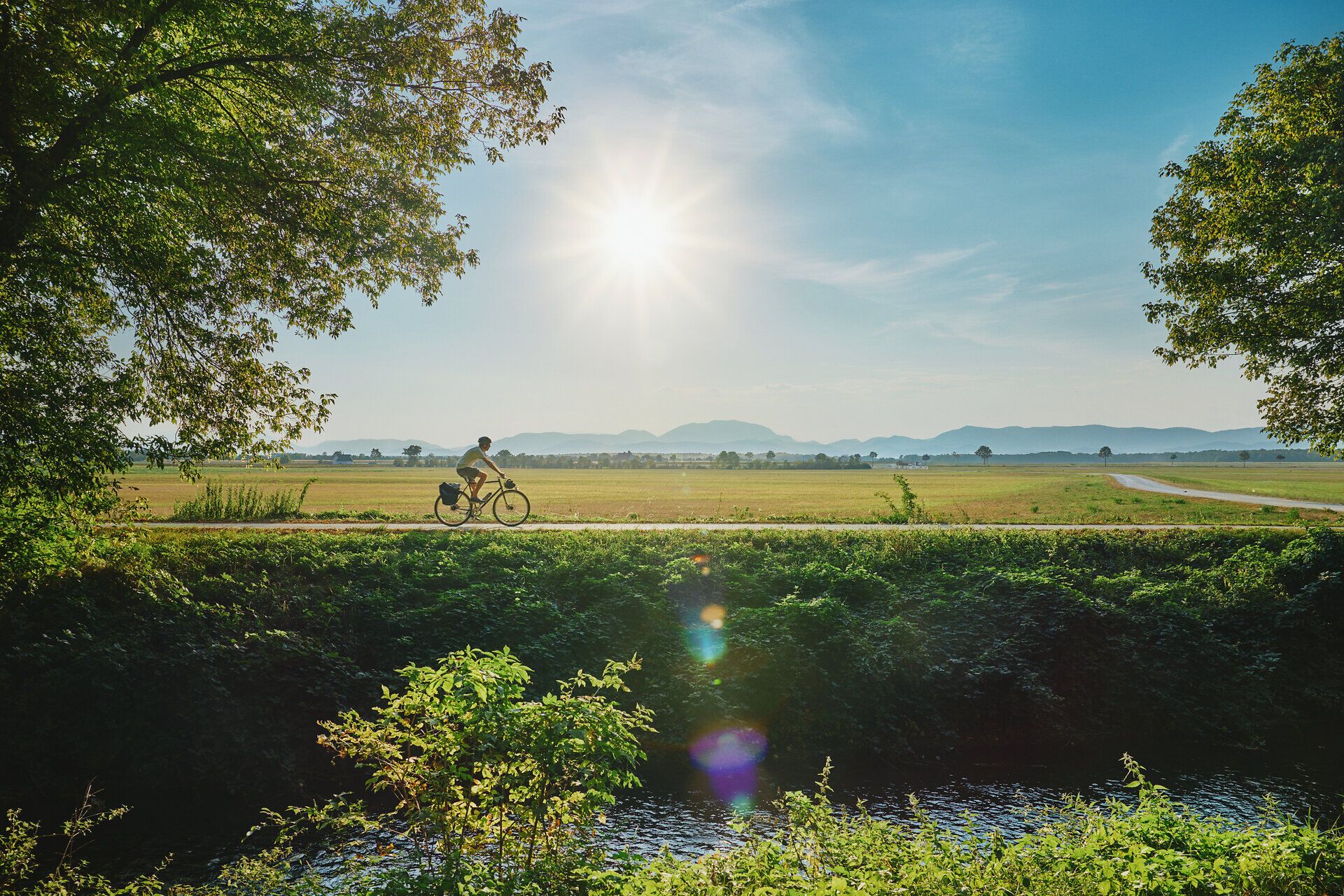
  • Radfahren am Eurovelo 9 durch die Bucklige Welt und Wiener Neustadt
    ©© Wiener Alpen/Philipp Schönauer

    Cycling

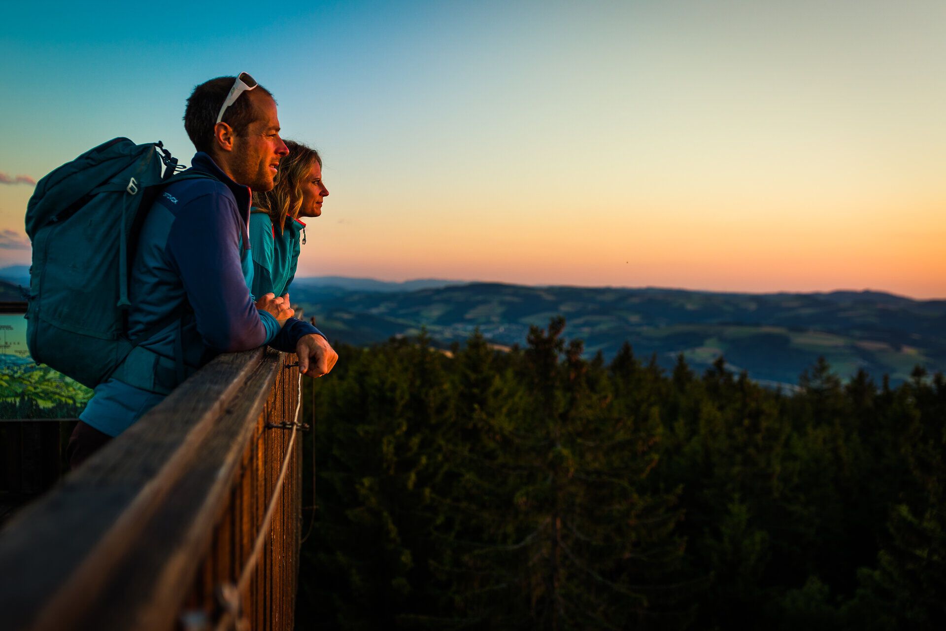
  • Der Ausblick vom Hutwisch bei Sonnenuntergang ist besonders schön.
    ©© Wiener Alpen/Martin Fülöp

    Hiking

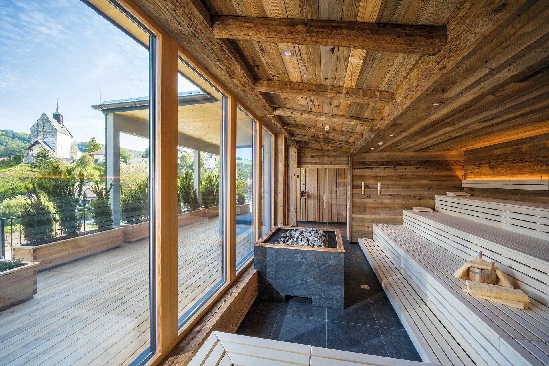
  • In der warmen, einladenden Atmosphäre des Wellnessbereichs entfaltet sich ein Gefühl der Ruhe und Entspannung. Die großen Fenster bieten einen atemberaubenden Blick auf die umliegende Natur, während das Holzinterieur eine harmonische Verbindung zur alpinen Umgebung schafft.
    ©© Hannes Dabernig

    Health and well-being

  • Das Sconarium i Bad Schönau ist ein besonderer Veranstaltungsort.
    ©© Wiener Alpen/Christian Kremsl

    Health resort Bad Schönau

  • Illustrative image

    Wellness

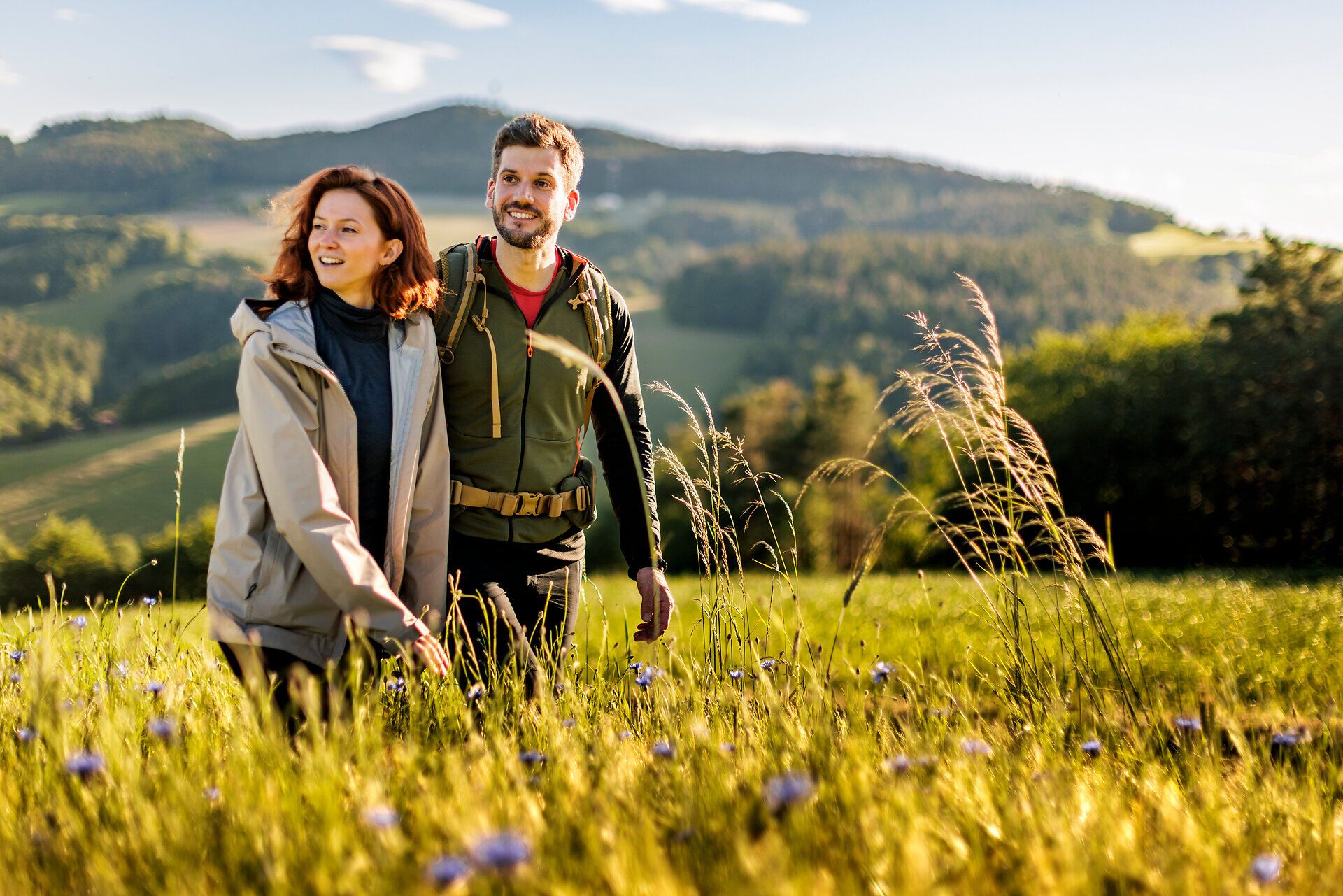
  • Ein Frau und ein Mann gehen am Rosalia Rundwanderweg entlang.
    ©© Wiener Alpen/Martin Fülöp, Christian Kremsl

    Rosalia Circular Walk

    Long-distance hiking for beginners, near Vienna
  • Ein Frau und ein Mann gehen am Rosalia Rundwanderweg entlang.
    ©© Wiener Alpen/Martin Fülöp, Christian Kremsl

    A Holiday that goes far

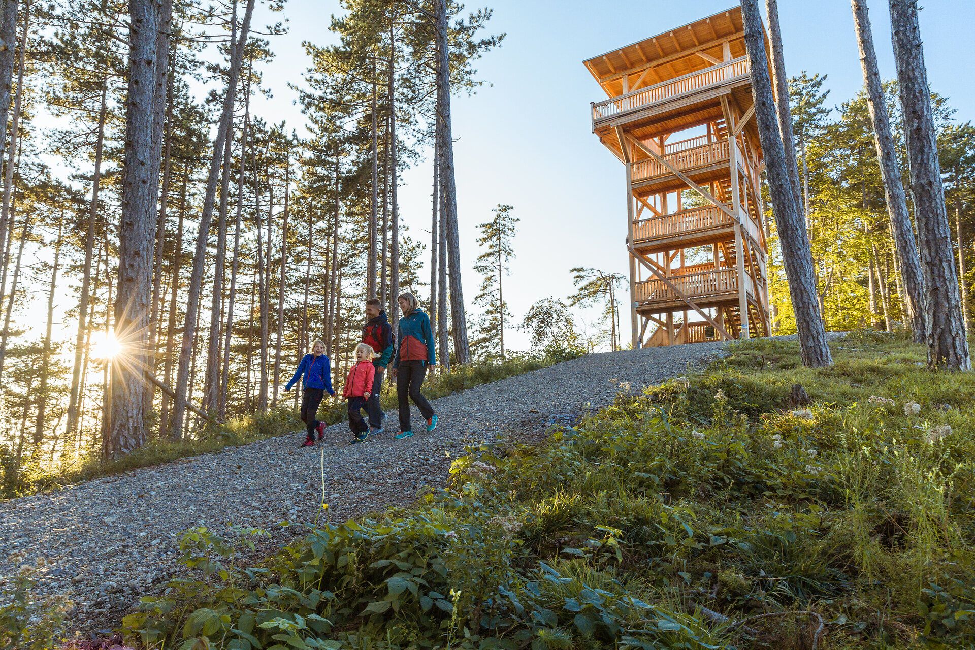
  • Familie mit Kindern auf dem Rückweg von der Aussichtswarte Lanzenkirchen
    ©© Wiener Alpen/Martin Fülöp

    Hiking with the family on the Rosalia Circular Walk

  • Illustrative image

    Search

  • Katzelsdorf Monastery
    ©Wiener Alpen in Niederösterreich
    • Distance139,64 km
    • Duration2:50 h

    Vintage car route - "The Bucklige Welt and its neighbors"

    Tour Starting from Katzelsdorf
  • Cycling on the Feistritztal route in Wechselland
    ©Wiener Alpen/Philipp Schönauer
    • DifficultyDifficult
    • Distance141,66 km
    • Duration5:30 h

    Road cycling route through the Wiener Alpen

    Cycling tour Starting from Bad Schönau in front of the church
  • View of Krumbach Castle
    ©© Schloss Krumbach
    • DifficultyModerate
    • Distance14,34 km
    • Duration5:00 h

    WAB - Regional Route E: Gschaidt - Feichten - Krumbach

    Hiking tour Starting from Hiking start location in the center of Gschaidt at Gasthof Höller
  • Spring in Thomasberg
    ©Wiener Alpen, Foto: www.audivision.at
    • DifficultyModerate
    • Distance26,57 km
    • Duration8:00 h

    Culinary hike through the Bucklige Welt

    Hiking tour Starting from Krumbacher Farm
  • E-biking on the St. Annaroute
    ©Wiener Alpen in Niederösterreich
    • DifficultyEasy
    • Distance16,69 km
    • Duration1:30 h

    St. Anna Route - E-Bike

    Cycling tour Starting from Braunstorfer gas station and auto repair shop Wiesmath
  • Entrance area of the Triad restaurant, illuminated in the evening and with terrace
    ©Platzhirschmarketing Gobauer
    • DifficultyModerate
    • Distance10,70 km
    • Duration3:00 h

    Hike Krumbach: Triad

    Hiking tour Starting from Krumbach municipal parking lot
  • Aerial view of the Celtic village of Schwarzenbach with observation tower and replica Celtic houses, surrounded by woods and meadows.
    ©Wiener Alpen, Christian Kremsl
    • DifficultyEasy
    • Distance2,45 km
    • Duration0:45 h

    Celtic circular hiking route Schwarzenbach

    Hiking tour Starting from Schwarzenbach, Keltenberg parking lot
  • A couple stand on a covered wooden bridge and look at each other, surrounded by green nature.
    ©Wiener Alpen, Martin Fülöp, Christian Kremsl
    • DifficultyEasy
    • Distance7,99 km
    • Duration2:30 h

    Eichbüchl Circular Hiking Route (KA 2)

    Hiking tour Starting from Katzelsdorf Castle Square
  • Pitten circular hiking trail - Weißjackl
    ©©Manfred Pfaller
    • DifficultyEasy
    • Distance10,85 km
    • Duration3:45 h

    Pitten circular hiking route - Marketplace - Weißjackl - Marketplace (PI 1)

    Hiking tour Starting from Guild tree in the center of the municipality of Pitten
  • Roadbike Wirtshauskult(o)ur - Cycling pleasure in Lower Austria
    ©Wolfgang Wutzl
    • DifficultyDifficult
    • Distance213,46 km
    • Duration9:00 h

    Roadbike Wirtshauskult(o)ur – cycling pleasure in Lower Austria

    Cycling tour Starting from Waidhofen/Ybbs
  • Seebenstein train station

    Bahnstraße 30, 2824 Seebenstein
  • Three smiling people in work clothes are standing in a butcher's shop.
    ©Fleischerei Höller

    Fleischerei Höller

    Kampichl 35, 2871 Zöbern
  • View of the Bucklige Welt
    ©©Niederösterreich-Werbung, Foto: Michael Liebert
    • DifficultyEasy
    • Distance5,89 km
    • Duration1:30 h

    Krumbacher Himmelsteig

    Hiking tour Starting from Municipal car park Krumbach

Frequently Asked Questions

  • Die schneebedeckte Landschaft strahlt eine friedliche Ruhe aus, während die majestätische Kirche mit ihrem hohen Turm in den klaren Winterhimmel ragt. Hier, in den Wiener Alpen, entfaltet sich die Schönheit des Winters in voller Pracht und lädt zu unvergesslichen Wanderungen ein.
    ©© Niederösterreich Werbung/Tereza Bokrová

    Fortified church

  • Eine Frau und ein Mann stehen in einem Park auf einer Brücke, umgeben von hohen Bäumen.
    ©© Wiener Alpen/Florian Lierzer

    Spa Garden

Naturally effective

Springs bubble beneath Bad Schönau, whose natural carbon dioxide gas has been used for therapeutic purposes for decades. The effects have been scientifically proven: it improves blood circulation, relieves strain on the heart and circulatory system, lowers blood pressure and increases oxygen supply. For athletes, this means greater performance with less strain on the heart. For all guests, it means noticeable lightness and increased vitality.