Hike Krumbach: Maierhöfen - Tiefenbach

Praktische Tipps für ein sicheres Naturerlebnis
Hiking tour Starting from Municipal car park Krumbach
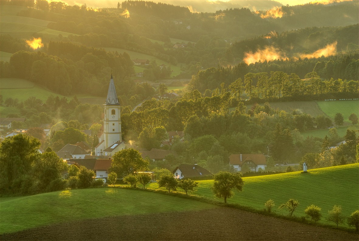
Eight kilometers along beautiful countryside from Krumbach via Maierhöfen and Schaueregg to Tiefenbachtal and back again!
Eight kilometers along beautiful countryside from Krumbach via Maierhöfen and Schaueregg to Tiefenbachtal and back again!
Your hikes in the Viennese Alps should be a completely beautiful and safe experience. Please observe the following:
Preparation
Make sure when choosing the route that it matches your experience and condition. Check the weather forecast in advance. The weather in the mountains can change surprisingly quickly. Therefore, always set out suitably equipped (e.g. rain protection).
Check if the huts and snack stations you want to visit en route are open. Inform someone about your chosen route and your planned return before you start.
Find more safety tips here.
Always take suitable maps with you. Wear sturdy shoes appropriate for the route, bring sun and rain protection as well as water and a snack. Take your mobile phone and save the mountain rescue emergency number: 140
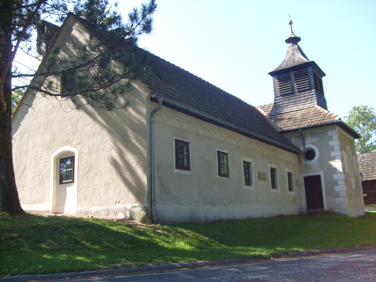
The starting point is the municipal car park Krumbach. Go left over Marktstraße and at Gasthaus Heissenberger, following the red marking, turn right onto Maierhöfenstraße towards Schaueregg and Tiefenbach. Then continue to the junction Dienbauer/Tiefenbach (km 2.2). Follow the markings towards Tiefenbach continuously until the next T-junction, turn right there to the "Badl Haus" (km 4). Turn right onto the paved road towards Tiefenbach, at the first bridge turn left (to GH Buchegger). At the second bridge turn right towards Untertiefenbach (passing the nursery Pichelbauer), at the junction to Reithofbauer (km 5) turn right further into Untertiefenbachstraße to the property Riegelbauer Annemarie (km 6.2). Turn right up the forest path, past the Place of Silence, to Winkler Chapel and Katzentürl (km 7.3). At the chapel turn right continuing towards the municipal car park.
Parking available at the municipal car park.
From Vienna: Take the South Motorway A2, exit at Krumbach. Continue to the Krumbach junction. Continue on Kirchschlager Str./B55. In Krumbach turn left onto Marktstraße. Turn right to stay on Marktstraße.
From Graz: Take the South Motorway A2, exit at Aspang-Zöbern. Turn right onto L137. Continue on Kampichl and Hauptstraße. Hauptstraße turns left in Zöbern and becomes Austraße. Follow L137 to Unterhaus near Krumbach and turn left onto Kirchschlager Str./B55. Continue on B55. Turn right onto Marktstraße and left to stay on Marktstraße.
More information at www.oebb.at and www.vor.at
Combine your hike with a stay in Krumbach. The Krumbacherhof can be booked online directly.
Other dining options:
Leider können wir Ihnen zum jetzigen Zeitpunkt keine Wetterdaten für den Ort anzeigen.
Viennese Alps in Lower Austria, www.wieneralpen.at, +43 / 2622 / 78960
Opening hours: Mon - Thu 08:30 - 16:00 / Fri 08:30 - 13:00
Adventure region Bucklige Welt south, www.buckligewelt.info, +43 / 676 / 3509806
Letzte Änderung: 3 Aug 2026