Axel's Hiking Tour Through the Vienna Alps

Hiking tour Starting from Trinkstein Pass
Journalist Axel N. Halbhuber crossed the whole of Austria as a long-distance hiker in the summer of 2009. The section in Lower Austria took Axel over the Rax and the Schneeberg to the Fischerhütte and to Weissenbach an der Triesting. He continued through the Vienna Woods via the Peilstein to Mayerling, Heiligenkreuz and Perchtoldsdorf.
Journalist Axel N. Halbhuber crossed the whole of Austria as a long-distance hiker in the summer of 2009. The section in Lower Austria took Axel over the Rax and the Schneeberg to the Fischerhütte and to Weissenbach an der Triesting. He continued through the Vienna Woods via the Peilstein to Mayerling, Heiligenkreuz and Perchtoldsdorf.
We want your hikes in the Vienna Alps to be an enjoyable and safe experience in every way. Therefore, please note the following:
Preparation
When choosing a route, make sure it matches your experience and fitness level. Check the weather forecast in advance. The weather in the mountains can change surprisingly quickly. Therefore, always set out with the appropriate gear (e.g., rain gear).
Check to see if the huts and snack bars you plan to visit along the way are open. Let someone know your route and your planned return time before you set out.
You can find more safety tips for your hike here.
Wear appropriate clothing and sturdy shoes. Be sure to bring rain and sun protection. Bring plenty to drink.
Always bring appropriate maps with you. Wear sturdy shoes suitable for the hike, and bring sun and rain protection, as well as water and a light snack. Bring your cell phone and save the mountain rescue emergency number: 140
Axel’s route description through the Vienna Alps in Lower Austria:
Stage 1
Otto Haus (Rax) – Wachthüttelkamm – Weichtal Haus – Weichtalklamm – Kienthaler Hut – Hochschneeberg/Klosterwappen – Fischerhut
Very well-marked trail; initially a steep descent (sure-footedness is essential, and you’ll need to use your hands!), followed by a long ascent to the Schneeberg (including some easy climbing sections in the Weichtalklamm). The view from the Hochschneeberg makes the 1,500-meter climb well worth it.
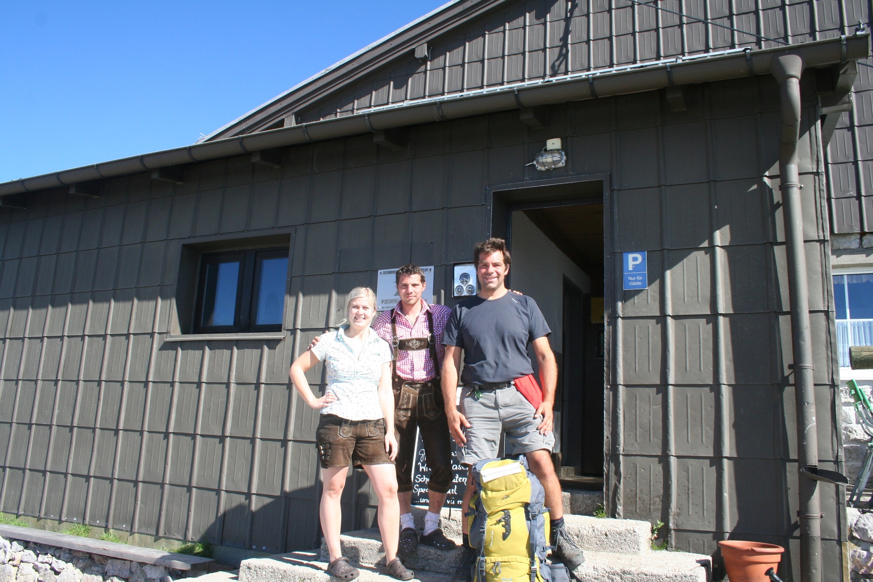
My tip of the day: The Fischerhütte in general. The summit pancakes, the conversations with the hut owners Kathi and Michi, the atmosphere up there, and the view of the entire region—and my Vienna in particular.
Stage 2
Fischerhütte – Fadensteig – Dürre Leitn – Mamauwiese – Öhlerschutzhaus – Plattenstein – Ungerberg – Frohnberg – Waidmannsfeld.
The trail markers aren’t always perfect, but with a map you can find your way easily. After a fairly challenging descent (you absolutely must have sure footing and a head for heights on the Fadensteig!), it’s an easy and very idyllic hiking trail with great views and lovely places to stop for a break (though be sure to check the opening hours beforehand!)
My tip of the day: On one side, the Kaiserstein above the Fischerhütte. On the other, the Plattenstein next to the Gauermann Hütte. Places to find yourself.
Stage 3
Waidmannsfeld – Hohe Mandling – Waxeneckhaus – Auf dem Hals – Auf der Wurzen – Weissenbach an der Triesting.
Once again, the trail markings are good but not perfect; however, the trail itself is very easy, with a fairly steep climb up to the Hohe Mandling. You can now clearly tell that the high mountains are behind you: forest trails, meadows, and lots of pine trees. Very idyllic. Again, be sure to check the huts’ opening hours in advance.
Take the A2 to the Seebenstein interchange - take the S6 to Gloggnitz - take the B27 to Hirschwang / Raxbahn valley station.
Take the Südbahn to Payerbach-Reichenau. Buses run at regular intervals between the Payerbach-Reichenau train station and the Rax Areal Ropeway’s valley station.
Leider können wir Ihnen zum jetzigen Zeitpunkt keine Wetterdaten für den Ort anzeigen.
Information:
axelwandertdurch.austria.info
Vienna Alps in Lower Austria, www.wieneralpen.at, +43 / 2622 / 78960
Letzte Änderung: 3 Aug 2026