Across the 1,000 Hills—A 3-Day Long-Distance Hiking Tour for Beginners Through the Bucklige Welt

Praktische Tipps für ein sicheres Naturerlebnis
Hiking tour Starting from Kirchschlag Main Square
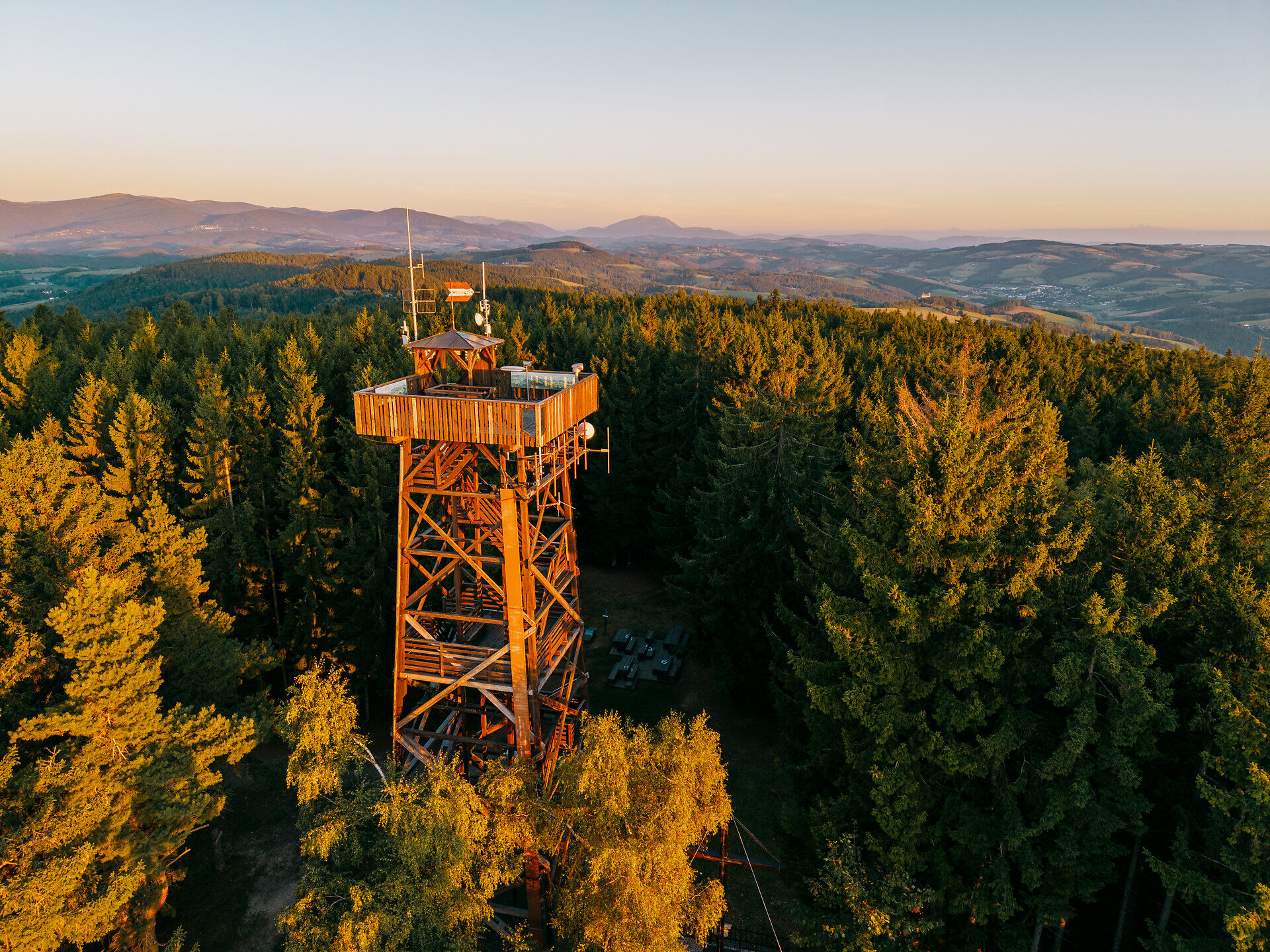
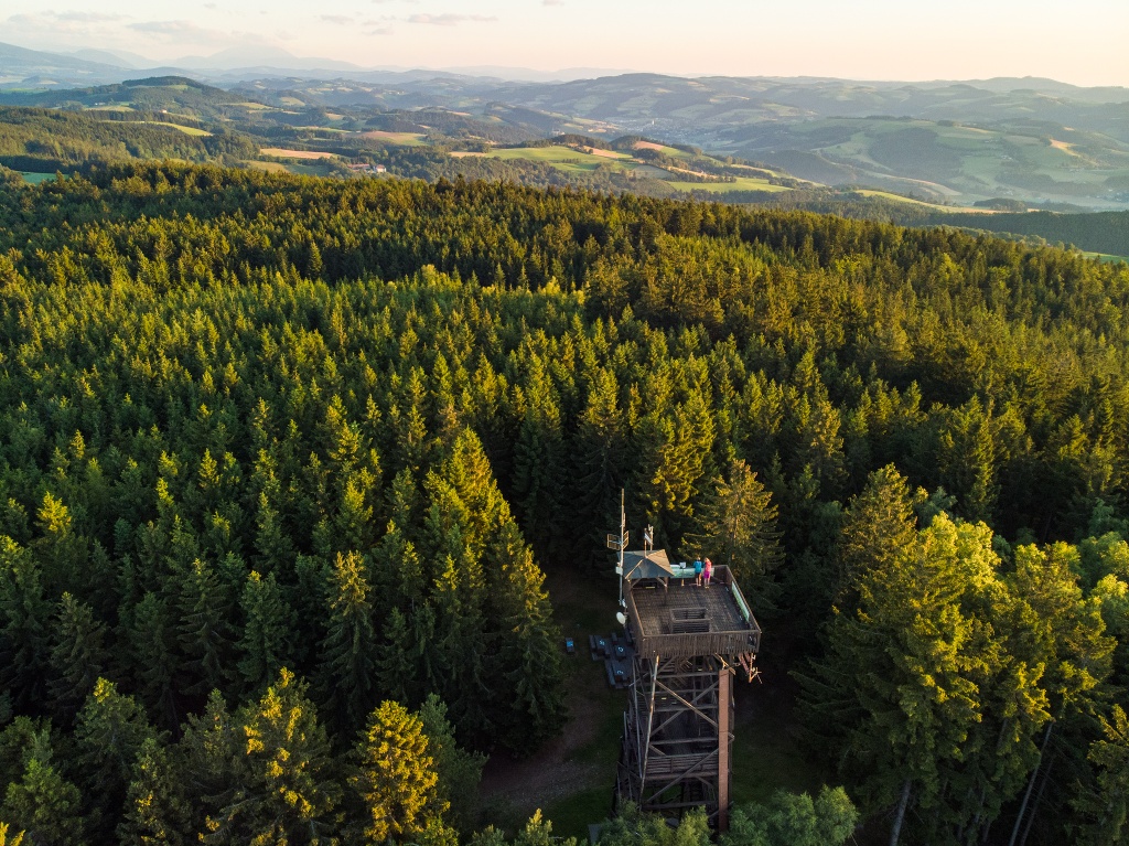
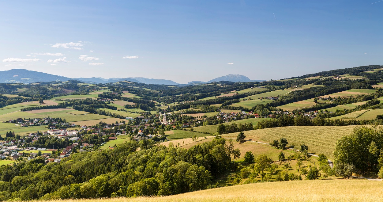
The 3-day hiking tour leads over the most beautiful hills of the southern Bucklige Welt. Day 1 goes from Kirchschlag over the Hutwisch - the highest elevation in the Bucklige Welt - to Bad Schönau. Day 2 goes from Bad Schönau to Krumbach with a view of the castle. Day 3 leads from Krumbach back to Kirchschlag.
The 3-day hiking tour leads over the most beautiful hills of the southern Bucklige Welt. Day 1 goes from Kirchschlag over the Hutwisch - the highest elevation in the Bucklige Welt - to Bad Schönau. Day 2 goes from Bad Schönau to Krumbach with a view of the castle. Day 3 leads from Krumbach back to Kirchschlag.
We want your hikes in the Vienna Alps to be an enjoyable and safe experience in every way.
Please note the following:
Preparation When choosing a route, make sure it matches your experience and fitness level. Check the weather forecast in advance. The weather in the mountains can change surprisingly quickly. Therefore, always set out with the appropriate gear (e.g., rain gear). Check to see if the huts and snack bars you plan to visit along the way are open. Let someone know your route and your planned return time before you set out.
Always bring appropriate maps with you. Wear sturdy shoes suitable for the hike, and bring sun and rain protection, as well as water and a light snack. Bring your cell phone and save the emergency numbers for emergency services: Emergency Services 144 / Mountain Rescue 140
Stage 1: Kirchschlag – Bad Schönau
The tour begins at the parking lot of the Hotel Post - Hönigwirt. The “Wiener Alpenbogen - Arc of the Viennese Alps (trail)” trail marker points the way to the Kirchschlag castle ruins and up to Niklasberg, where you’ll enjoy your first magnificent views of the Bucklige Welt. From the Grandits Inn, the E2 trail marker leads quite steeply uphill to the Maierhöfen hamlet. After passing through Maierhöfen, the trail winds past farms to the chapel. Just before the chapel, turn briefly left, then immediately right uphill onto the ridge trail. Follow this route straight ahead to Ortbauer.
On the paved road, the trail leads about 150 meters to the left before turning right onto the path. In the Wolfsbühel Forest, the trail follows the yellow-marked E2 trail, which climbs moderately until it crosses a road. Continue on the yellow-marked trail. At another point, turn left toward Harmannsdorf, then left again onto the path leading to the Hutwisch and the lookout tower.
The return route from the Hutwisch leads back to the trail junction where you started. The trail is signposted toward Bad Schönau. It passes through the beautiful spa gardens and finally ends in the town.
Stage 2: Bad Schönau – Krumbach
The trail follows the yellow-marked E3 route. In the center of Bad Schönau, Kurhausstraße heads west. Following this street, you’ll reach a path that climbs gently past the Hubertus Chapel and leads to Buchegg. Turn right onto the paved road. At the T-intersection, turn left and then immediately right again. Shortly afterward, you’ll reach the trail that leads right through the forest and down through the Haselgraben. After 1.5 kilometers, the trail turns left, ascending via a well-maintained path through the forest to Krumbach Castle. From the castle, the trail leads downhill to the Schlosswirtshaus. Here, follow the signs toward Kraxenberg.
At the next fork in the trail, keep right until you reach the stream. Cross the stream and turn sharply left (signposted “Edelbrennerei Kölbel”). Continue straight ahead along the stream; at the next fork, turn right up the forest path. Continue on to a farm, which you’ll pass on the left. Then follow the paved road. At the next intersection, turn left and follow the sign for “Edelbrände Kölbel.” You’ll reach the Kölbel Distillery, where the trail leads down the forest path to the right in front of the farmhouse and then runs along the edge of the field. After that, the trail leads back to the paved road on the right. Follow this road all the way, past the Kraxenberg Chapel, until it merges with a dirt road. After a curve, this path offers a view of the imposing Krumbach Castle. The trail now leads past pastures and through the forest to Unterhaus. Once you reach the village, turn left, pass Ederer’s alpaca farm, and continue toward the village. From here, the signs point toward Krumbach.
Stage 3: Krumbach – Kirchschlag
The tour begins at the Krumbach municipal office and follows the regional route along the Wiener Alpenbogen - Arc of the Viennese Alps (trail) toward Kirchschlag.
The first few meters take you slightly downhill along Marktstraße. Before the bridge over the Pfarrbach, the trail turns left onto Tiefenbachstraße toward Katzentürl and Lindenhof. This stretch of road goes uphill, curves to the right, and then leads onto the Lindenhof farm road toward Bad Schönau. With a view of Krumbach Castle, the trail reaches the Rosenkranz Chapel. There, turn left onto the red-marked forest trail, which is also signposted as the “Marienweg” to Mariazell. The trail follows narrow paths past the “Platz der Stille” (Place of Silence) to the Strobl farmstead. A right-hand curve leads over a wooden footbridge to the Tiefenbach stream. At the next trail junction, turn right and follow a road with a median strip.
After passing house no. 133 and shortly after a bridge, the trail leads past a rest area on the left into a driveway. Continuing to the left past the house, the trail curves to the right and climbs uphill along the D9 hiking trail and the Marienweg. A few minutes later, after a left-hand hairpin turn, the trail immediately turns right and climbs steeply uphill. Just two minutes later, it crosses a forest road, and shortly after that, the forest trail joins another forest road, where it turns right. After leaving the forest, the trail leads through the rural landscapes of the Bucklige Welt. Less than 100 meters after leaving the forest, turn right onto a dirt road, and the Bacherbauer farmstead comes into view. The trail passes the farm on the left, climbs slightly onto a farm road, and finally joins a paved road. At this point, turn right to follow the panoramic road for the next hour all the way to Kirchschlag.
Kirchschlag is known for its castle, the former residence of many noble families. Today, the castle—the venue for the Passion Play—is open to the public. At the Passion Play Theater in Kirchschlag, the trail crosses a bridge over the Zöbernbach stream to reach Passionsspielstraße. Immediately after the church and before the Zöbernbach stream, turn left onto the sidewalk. Shortly thereafter, at the rose garden, the path turns right onto Kirchengasse and leads over two bridges to the main square.
There is plenty of parking in the town centers of Krumbach, Bad Schönau, and Kirchschlag.
From Vienna: Take the A2 Südautobahn and exit at Krumbach. Continue to the Krumbach interchange. Continue on Kirchschlager Str./B55 to Krumbach, Bad Schönau, or Kirchschlag.
From Graz: Take the A2 Südautobahn and exit at Aspang-Zöbern. Turn right onto the L137. Continue on Kampichl and Hauptstraße. In Zöbern, Hauptstraße turns left and becomes Austraße. Follow the L137 to Unterhaus near Krumbach, then turn left toward Krumbach or turn right toward Bad Schönau or Kirchschlag.
Kirchschlag, Bad Schönau, and Krumbach are easily accessible by bus and train. The Wr. Neustadt train station is easily accessible from Vienna and Graz; from there, trains run every half hour to the Edlitz-Grimmenstein station. From there, VOR regional buses operate.
For more information, visit anachb.vor.at and fahrplan.oebb.at
The tour can be started from any stage starting point. All locations are easily accessible by public transportation.
Along the way, there are also many places to stop for a bite to eat or spend the night, as well as Excursion destinations worth visiting. For more information, contact the respective businesses or visit www.wieneralpen.at.
Leider können wir Ihnen zum jetzigen Zeitpunkt keine Wetterdaten für den Ort anzeigen.
Vienna Alps in Lower Austria, www.wieneralpen.at, +43 2622 78960
Hours: Mon–Thu 8:30 a.m.–4:00 p.m. / Fri 8:30 a.m.–1:00 p.m.
Letzte Änderung: 26 Aug 2026