
"Feels good!" - Pfennigbach Hiking Trail

Hiking tour Starting from
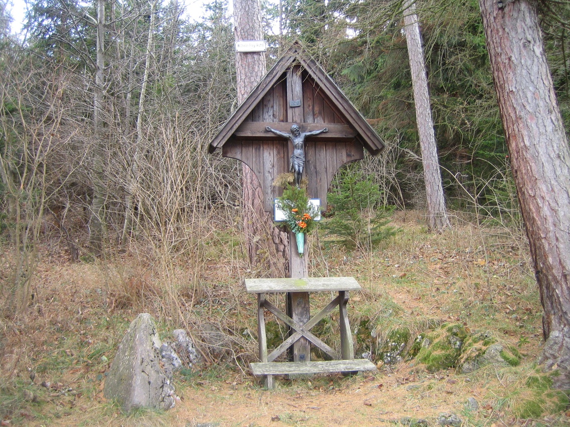
Start: Wr. Neustädter Straße 17, 2734 Puchberg am Schneeberg (Town Hall) Route: Municipal Office – Leopoldauer Weg – after 2/3 of the way along Leopoldauer Weg, a short, steep climb into the forest – Forest Prayer Site – Pfennigbach – toward Ranzenbach – turn right back onto the forest road via Leopoldauer Weg to the Municipal Office
Start: Wr. Neustädter Straße 17, 2734 Puchberg am Schneeberg (Town Hall) Route: Municipal Office – Leopoldauer Weg – after 2/3 of the way along Leopoldauer Weg, a short, steep climb into the forest – Forest Prayer Site – Pfennigbach – toward Ranzenbach – turn right back onto the forest road via Leopoldauer Weg to the Municipal Office
Information points and boards on local history using QR codes along the routes
Viewpoints and panoramic views
Detailed accompanying and background information on the municipal website
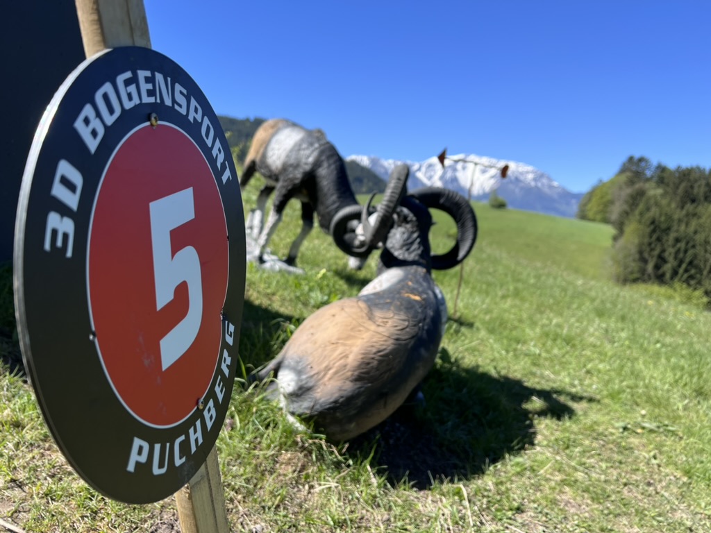
The route passes by the Pfennigbach 3D archery course. If you'd like, you can combine the hike with a round of archery.
Leider können wir Ihnen zum jetzigen Zeitpunkt keine Wetterdaten für den Ort anzeigen.