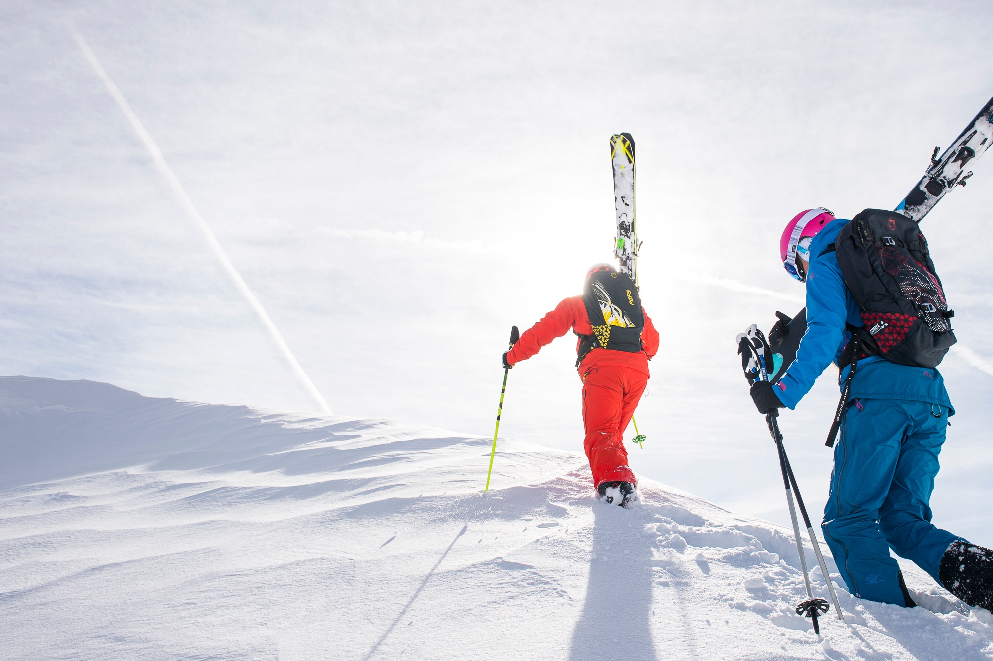
Schneeberg - Wurzengraben

The great classic ski tour on the Schneeberg, very popular, very popular, therefore usually well groomed and also piste-like.
The great classic ski tour on the Schneeberg, very popular, very popular, therefore usually well groomed and also piste-like.
The great classic ski tour on the Schneeberg, very popular, very popular, therefore usually well groomed and also piste-like. Very beautiful and varied scenery. Thanks to the piste to Losenheim, the lower section offers good downhill conditions right into spring. Often underestimated, without chairlift assistance it is a full 1200 m to the Fischerhütte, and you should also keep an eye on the avalanche situation! Very rewarding in combination with an ascent via the Schauerstein ridge, which offers great views and is safe from avalanches. If visibility is poor, pay close attention to the direction of the compass at the start of the descent from the Fischerhütte!
Navigation:Between Almgatterl and the Heinrich-Krempel Hut, pay close attention to the trail. On the ridge of the Schauerstein, in poor visibility, watch out for drop-offs to the west and snowdrifts covering holes at 1,880 m. At the start of the descent from the Fischerhütte, head due west! In the lower section of the gully, where it opens up, the terrain is very difficult to navigate in fog all the way to the Heinrich-Krempel-hut.
Avalanches: On the Fadenweg, there is one section at 1,260 m that is not avalanche-safe. The Wurzengraben has some tricky passages in its winding middle section between 1,700 and 1,900 m.
Standard Ski Touring Gear
Ascent: From the chair lift’s valley station, either take the lift up or hike along the slope (options: either along the far left, shaded edge of the slope or further to the right over a treeless ridge that’s sunny in the morning, partly on the slopes as well) to the Edelweiss Hut, 1,235 m. Without the lift: 1 hour
Pass the former Sparbacherhütte—now privately owned—on the right and follow a road into the forest (with a short descent along the way) to 1,300 m. Then a flat section, and starting at a left-hand curve, a brisk descent on skins along the road to the junction with a forest road at 1,250 m. From here, follow the yellow markers on a gently ascending traverse beneath the Fadenwände (one section is not avalanche-safe). Pass the turnoff into the Hoyosgraben, then take a long right-hand curve and, after a left-hand curve, emerge into a clearing (Almgatterl, barriers). On the road (or take a shortcut via a hairpin turn) through the forest to a curve, 1,470 m (signpost, mountain rescue hut with sled). From there, head exactly south, ascending only slightly through the picturesque coniferous forest (yellow markings on the trees may not be clearly visible depending on snow conditions). Cross several clearings to the one with the Fleischer memorial stone. There, turn left into a hollow heading southeast and ascend through it. Soon, the Heinrich-Krempel Hut appears on the right. 1 ¼ hrs
At this point, at 1,550 m, veer left out of the hollow and follow the emerging Schauerstein ridge (mountain pines) upward in switchbacks due east. From 1,840 m, the terrain flattens out: on the right, the slopes and cliffs leading down into the Wurzengraben; on the left, snow-filled dolines (“Schneelöcher”—caution in fog!). From 1,900 m (green markings, posts), the ascent becomes steeper again toward the Fadensteig posts and, shortly thereafter, to the right toward the Fischerhütte. 1 ½ hours.
Alternative ascent route: Ascend via the Wurzengraben.
Descent: From the Fischerhütte, head exactly (!) west (initially following poles and an orange marker) into the gradually forming, initially rather trough-like gully. Then a few switchbacks, with rock formations on the right. After a flatter section, head toward the upper Törl and continue to the lower Törl. Then, at 1,700 m, you’ll reach the foothills of the gully. Now keep slightly to the left (important in fog—the terrain becomes difficult to navigate from here on!) into a hollow; the Schneegraben joins from the left. Then, keeping slightly to the right again, head into a neighboring hollow. At 1,560 m, the Heinrich-Krempel Hut is somewhat obscured on the left. The descent follows the same route as the ascent. During the brisk descent on the forest road, watch out for oncoming winter tourists! At 1,250 m, as an alternative to the uphill section toward the former Sparbacher Hut, continue following the yellow trail markers into the forest. The trail is flat at first, then descends, and eventually includes a slight uphill section toward the Sparbacher Hut. Continue the descent on the trail back to the starting point.
Losenheim, parking lots at the chair lift base station
Take the A2 exit for Wiener Neustadt West, then take the B26 via Grünbach to Puchberg am Schneeberg and continue on to Losenheim. The road is flat until you reach the Forellenhof Inn, then there’s a steep ramp to the end of the road at the chair lift’s valley station, where parking is available. Alternatively, take the A2 exit at Wöllersdorf, then take the B21 into the Piesting Valley to Reichental and continue via Ascher to Puchberg, or take the S6 exit at Neunkirchen and follow the B26 from Neunkirchen to Puchberg.
Train from Wiener Neustadt to Puchberg am Schneeberg, then by bus to Losenheim, chair lift base station.
Leider können wir Ihnen zum jetzigen Zeitpunkt keine Wetterdaten für den Ort anzeigen.
www.bergundkarte.at
www.zauberberge.at
Letzte Änderung: 4 Aug 2026