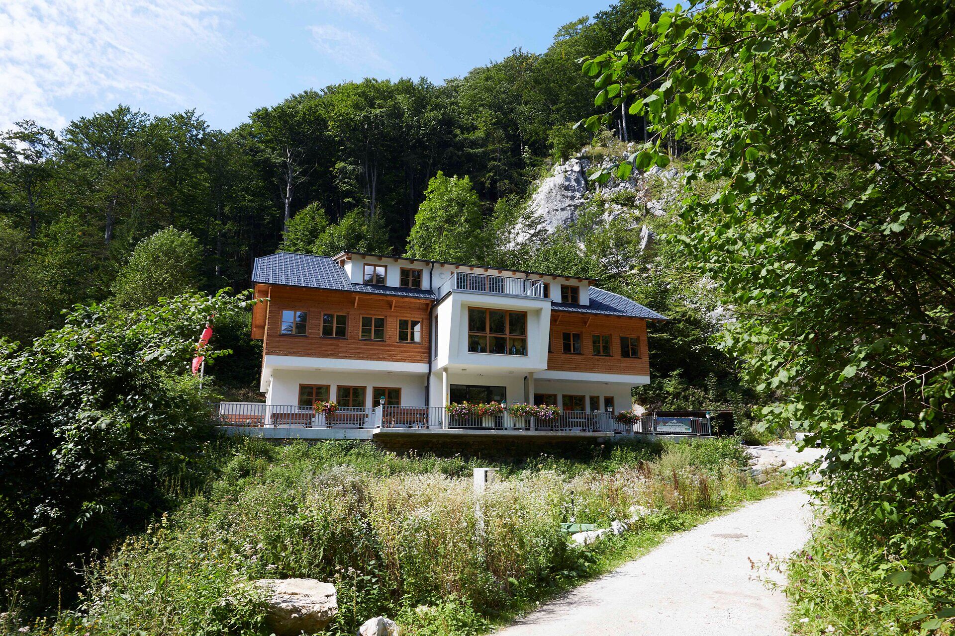
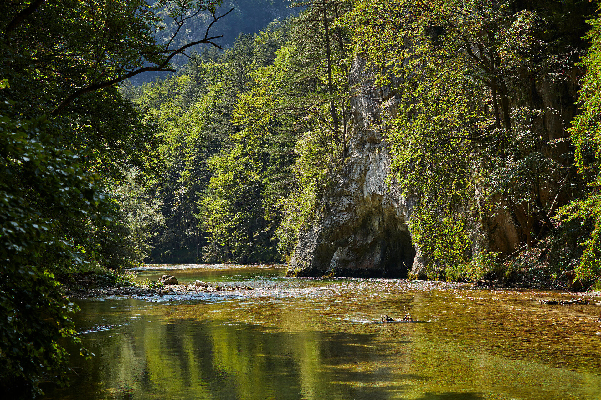
Hike through the wild and romantic Höllental Valley from Kaiserbrunn to the former Singerin Inn
Starting point of the tour
Kaiserbrunn
Tour destination
Former Singerin Inn
null
Distance: 8,74 km
Duration: 2:40 h
Ascent: 102 m elevation gain
Descent: 51 m elevation gain
Lowest point
521 m
Highest point
609 m
With refreshment stops
Accessibility by train and bus
Suitable for families and children
Hike through the wild and romantic Höllental Valley from Kaiserbrunn to the former Singerin Inn
The Höllental River Trail follows a newly constructed, safe, and family-friendly nature trail from Kaiserbrunn to the former Singerin Inn. The hike is mostly flat and often runs right alongside the wild Schwarza River. The existing 1st Vienna Aqueduct Trail serves as an ideal complement, enabling a continuous hike from the valley station of the Rax Cable Car to the former Singerin Inn. The Weichtalhaus offers a place to stop for refreshments right along the trail. In Naßwald, the Wirtshaus zum Raxkönig also invites you to stop in, where you can enjoy traditional dishes as well as Thai cuisine.
safety instructions
The trail is impassable during floods and rockfalls!
We want your hikes in the Vienna Alps to be an all-around enjoyable and safe experience.
Therefore, please note the following:
When choosing a route, make sure it matches your mountaineering experience and physical fitness. Check the weather forecast in advance. The weather in the mountains can change surprisingly quickly. Therefore, always set out properly equipped (appropriate footwear, rain gear). Check whether the huts and snack bars you plan to visit along the way are open. Let someone know your chosen route and your planned return time before you set out. Stay on marked trails and avoid taking shortcuts. Due to dry conditions, meadows and forests are highly flammable. Lighting any kind of fire, including smoking, is prohibited in all forested areas—see the Forest Fire Ordinance. Report any suspected fire immediately to the fire department (122). Do not litter; dispose of trash properly. Please observe the camping ban!
Always bring appropriate hiking maps with you. Wear sturdy shoes suitable for the hike, and bring sun and rain protection, as well as water and a light snack. Bring your cell phone and save the mountain rescue emergency number: 140
Route description
This hiking trail, which begins in Kaiserbrunn, follows the crystal-clear Schwarza River through the Höllental Valley, past the Weichtalhaus, and on to the former Singerin Inn (turn toward Naßwald). The trail runs between the Rax and Schneeberg mountains, through the wild and romantic Höllental valley. In some places, you can take a break right by the river.
As an ideal complement, we recommend the 1st Vienna Aqueduct Trail between Hirschwang (Rax Cable Car) and Kaiserbrunn.
Parking
There are only a limited number of parking spaces available in Kaiserbrunn and at the Weichtalhaus. We therefore recommend using public transportation.
Getting there
From Vienna, take the A2 Südautobahn to the S6 Semmering Expressway and take the Gloggnitz exit. Continue on the B27 to Kaiserbrunn.
From Graz, take the S6 Semmering Expressway and exit at Gloggnitz. Continue on the B27 to Kaiserbrunn.
Public transport
Take the train to the Payerbach-Reichenau station. From there, take Regional Bus 341 to the "Höllental Kaiserbrunn" stop.
Alternatively, book the RUFbus Semmering-Rax individually to the starting point.