Use our AI guide
Do you have any questions about your stay?
- Difficulty: Difficult
- Distance: 17,17 km
- Duration: 6:06 h
- Ascent: 1227 m elevation gain
- Descent: 616 m elevation gain
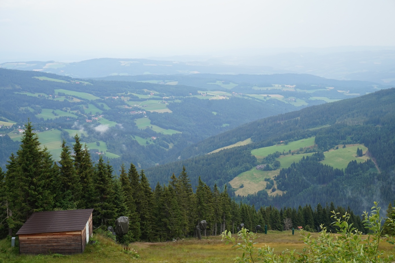
This regional route leads from Kirchberg am Wechsel via St. Corona and Mariensee to the main trail on the Mönichkirchner Schwaig.
- Difficulty: Difficult
- Distance: 17,17 km
- Duration: 6:06 h
- Ascent: 1227 m elevation gain
- Descent: 616 m elevation gain
- Fitness level required:5/6
- Overall experience:5/6
- Scenery:5/6
- Lowest point
- 548 m
- Highest point
- 1401 m
- Stage tour
- Nice views
- With refreshment stops
This regional route leads from Kirchberg am Wechsel via St. Corona and Mariensee to the main trail on the Mönichkirchner Schwaig.