alpannonia long-distance hiking trail: Fischbach - Kőszeg

Hiking tour Starting from Fischbach - town center
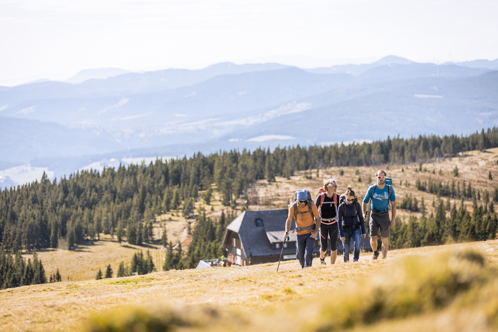
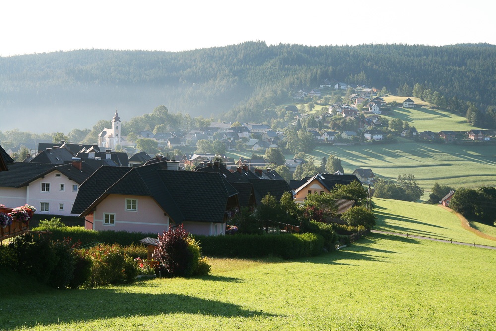
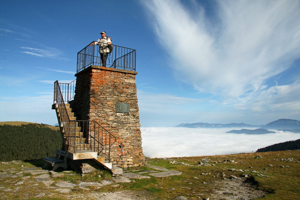
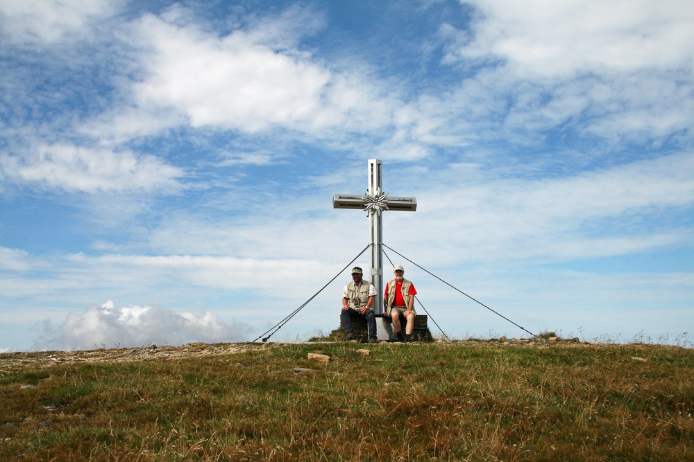
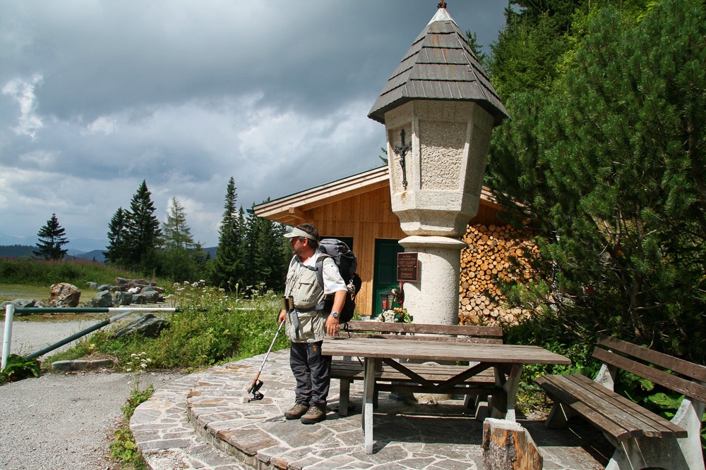
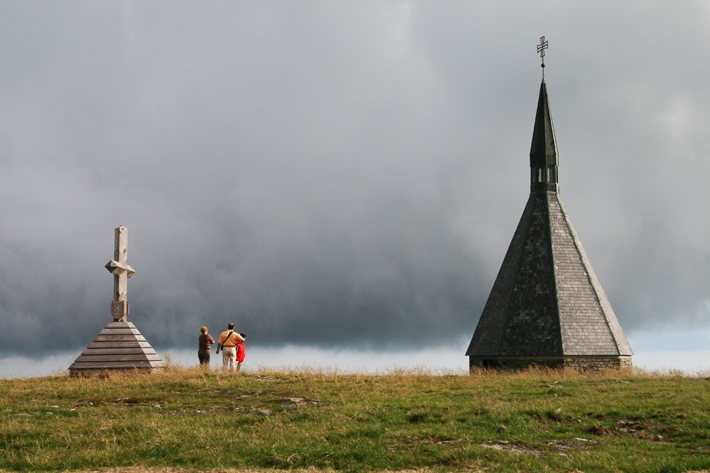
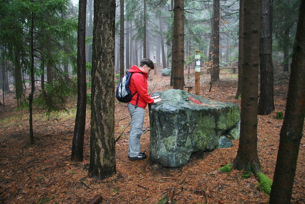
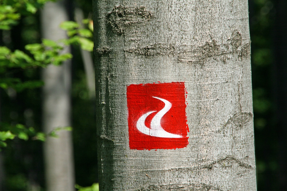
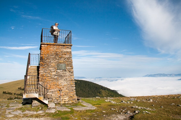
This variant of the main alpannonia trail leads from Fischbach in Styria to Kőszeg in Hungary as a 124.5 km long high-altitude and panoramic trail. "alpannonia- borderless hiking" is a network of hiking trails that stretches from the Alpine region in Styria and Lower Austria to the plains in Hungary. The trail network consists of a main trail and various regional routes. The main trail has two starting points in the Alpine region (Fischbach and Semmering) and Kőszeg as the end point at the last foothills of the Alps in Hungary. Places of tourist importance are connected to the main trail by regional routes.
This variant of the main alpannonia trail leads from Fischbach in Styria to Kőszeg in Hungary as a 124.5 km long high-altitude and panoramic trail. "alpannonia- borderless hiking" is a network of hiking trails that stretches from the Alpine region in Styria and Lower Austria to the plains in Hungary. The trail network consists of a main trail and various regional routes. The main trail has two starting points in the Alpine region (Fischbach and Semmering) and Kőszeg as the end point at the last foothills of the Alps in Hungary. Places of tourist importance are connected to the main trail by regional routes.
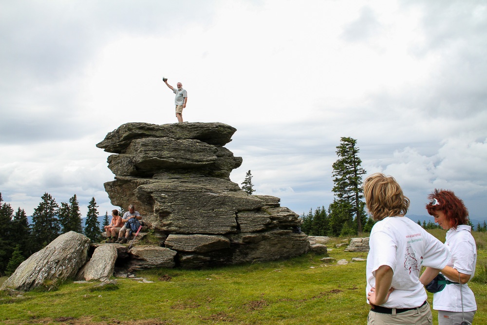
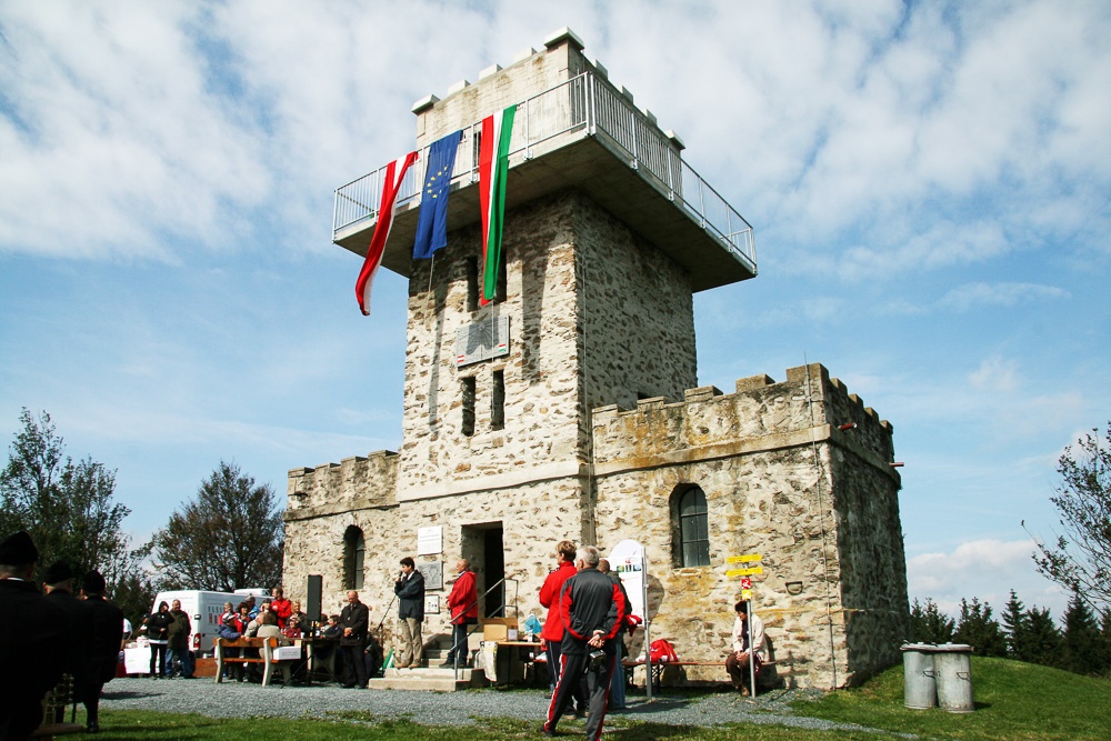
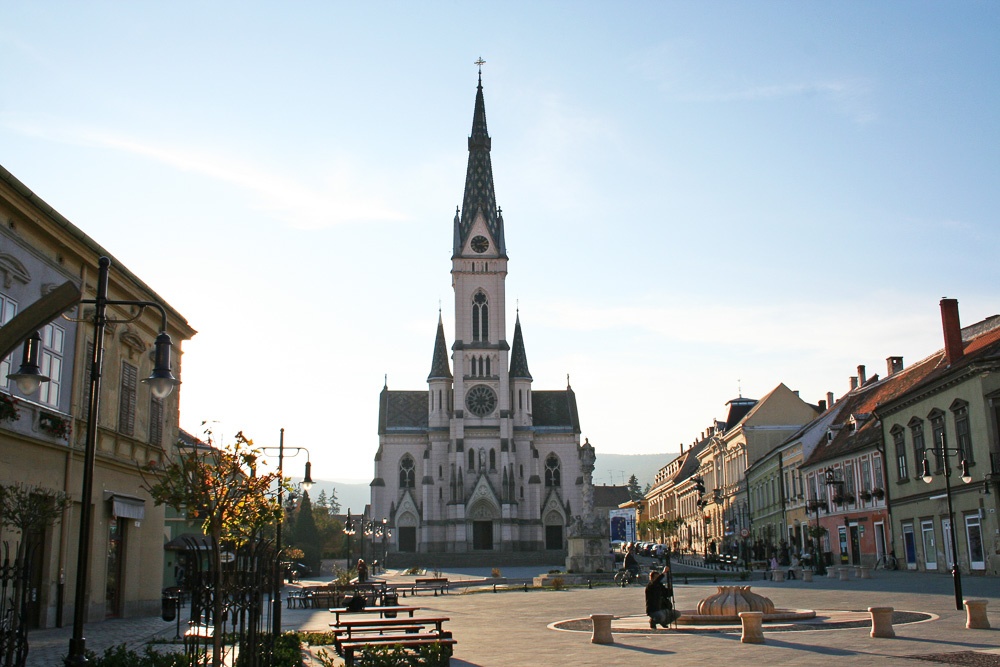
From the starting point in Fischbach, head uphill toward the Teufelstein. The summit, with its wonderful view, is a short distance off the main trail—the ascent takes about 15 minutes. Now the trail descends slightly to the Alpl saddle. From the Alpl, the trail climbs steadily up to the Pretul, which offers panoramic views and marks the highest point of the Alpannonia hiking trail network: the Stuhleck at an elevation of 1,782 m. From the Stuhleck, a somewhat steep descent leads to the Pfaffensattel. The trail then climbs slightly again, past the small Pfaff and on to the Feistritzsattel. This is where the trail begins a longer ascent to the second-highest point, the Hochwechsel at an altitude of 1,743 m. Even before reaching the Hochwechsel, at the Kranichberger Schwaig, a panoramic section begins, leading over the Hochwechsel and Niederwechsel to the Mönichkirchner Schwaig. This section offers views of the Vienna Basin, the Graz Basin, and far into Hungary. The hiking trail leads from Mönichkirchen via Hochneukirchen to Bernstein across the hilly landscape of the Bucklige Welt and Burgenland. The route is characterized by sections that alternate between forest, meadows, and fields and always offer views in different directions. From Bernstein, the trail winds through gentle ascents and descents via Goberling to Unterkohlstätten. Here begins the trail’s final major ascent to the Hirschenstein and Geschriebenstein, with 883 m of elevation gain. At the summit of the Geschriebenstein and the observation tower atop it, you’ve also reached the Austrian-Hungarian border. The Hungarian section of the Alpannonia hiking trail network then leads downhill, with a few small climbs, until you finally reach the plain in the center of Köszeg.
Over the ridges of the Pretul and the Hochwechsel, there can be orientation problems in snow and fog.
There is no mobile phone reception on some sections of the trail
Behavior when encountering grazing animals:
www.alpannonia.at/verhaltenstipps-fuer-wandergaeste-auf-beweideten-almen
Make sure when choosing the route that it matches your mountain experience and fitness. Check the weather forecast beforehand. Weather in the mountains can change very quickly. Therefore, always start properly equipped (e.g. rain protection).
Check whether the huts and snack stations you want to visit are open. Inform someone about your chosen route and planned return before you start.
Cross-border hiking trail: remember to bring a passport or ID!
Always carry suitable maps. Wear shoes appropriate for the route, bring sun and rain protection as well as water and a snack. Take your mobile phone and save the mountain rescue emergency number: 140
Fischbach - Teufelstein (side trail from the main path, about 15 minutes one way) - Alpl - Pretul - Stuhleck - Pfaffensattel - Feistritzsattel - Hochwechsel - Mönichkirchen - Bridge over the highway - Hochneukirchen - Redlschlag - Bernstein - Goberling - Unterkohlstättten - Geschriebenstein (Irottkő) - Steiererhäuser - Kőszeg (Güns)
Semmering and Kőszeg are accessible by train.
Fischbach via Birkfeld by bus
Attention! Special offer in Kőszeg; possibility to take a taxi from Kőszeg back to the starting point Semmering or Fischbach. (Fixed price 100 Euro) Please book early through the tourism office in Kőszeg.
Accommodation and shuttle services must be reserved in advance.
Leider können wir Ihnen zum jetzigen Zeitpunkt keine Wetterdaten für den Ort anzeigen.