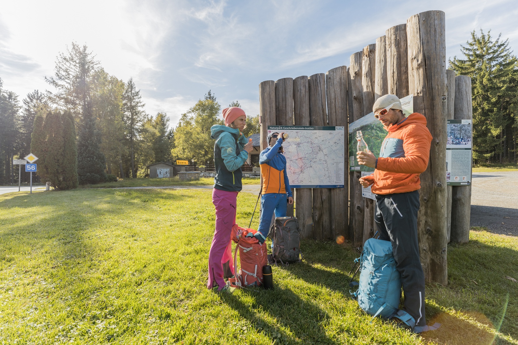
Alpannonia "Genuss" Hiking Trail: Bernstein – Unterkohlstätten

Hiking tour Starting from Bernstein Main Square
From the Bernstein hills to the home of charcoal burners
From the Bernstein hills to the home of charcoal burners
From the main square in Bernstein, the trail leads to the natural swimming pool with subsequent barefoot path. After a section of the Planet Trail, the route then leads mostly along forest paths to Goberling. The history of local antimony mining is presented in the Goberling Mining Museum. Immediately afterwards, you enter the Geschriebenstein-Irottkö Nature Park. Passing a lime kiln and a newly constructed biotope, you reach Unterkohlstätten, the end of the stage.
How to Behave When Encountering Grazing Animals:
www.alpannonia.at/verhaltenstipps-fuer-wandergaeste-auf-beweideten-almen
When choosing a route, make sure it matches your mountaineering experience and physical fitness. Check the weather forecast in advance. The weather in the mountains can change surprisingly quickly. Therefore, always set out with the appropriate gear (e.g., rain gear).
Check whether the huts and snack bars you plan to visit along the way are open. Let someone know your route and your planned return time before you set out.
Cross-border hiking trail: Remember to bring a passport or ID card!
Always bring appropriate maps with you. Wear sturdy shoes suitable for the hike, and bring sunscreen, rain gear, water, and a light snack. Bring your cell phone and save the mountain rescue emergency number: 140
Parking available at the main square, right on the Alpannonia main path
From Vienna via the A2, take the Krumbach exit—follow the B55 to Kirchschlag, then continue to Bernstein
Take the Burgenland Expressway (S31) to Oberpullendorf, then take the B50 to Bernstein
From the south: Take the A2 to the Markt Allhau exit, then continue through Oberwart to Bernstein
No train service; take a bus from Vienna or Graz to Oberwart, then continue on to Bernstein
Exhibition Charcoal Kiln in Oberkohlstätten
Leider können wir Ihnen zum jetzigen Zeitpunkt keine Wetterdaten für den Ort anzeigen.