alpannonia® 4-Castles-Route

Hiking tour Starting from Starting points are at all stage towns (Bernstein, Stadtschlaining, Rechnitz, Lockenhaus)
The 4-castle tour is one of the top long-distance hiking routes in the alpannonia® hiking offer. The stages are challenging, but the highlights along the route make it an absolute hiking experience.
The 4-castle tour is one of the top long-distance hiking routes in the alpannonia® hiking offer. The stages are challenging, but the highlights along the route make it an absolute hiking experience.
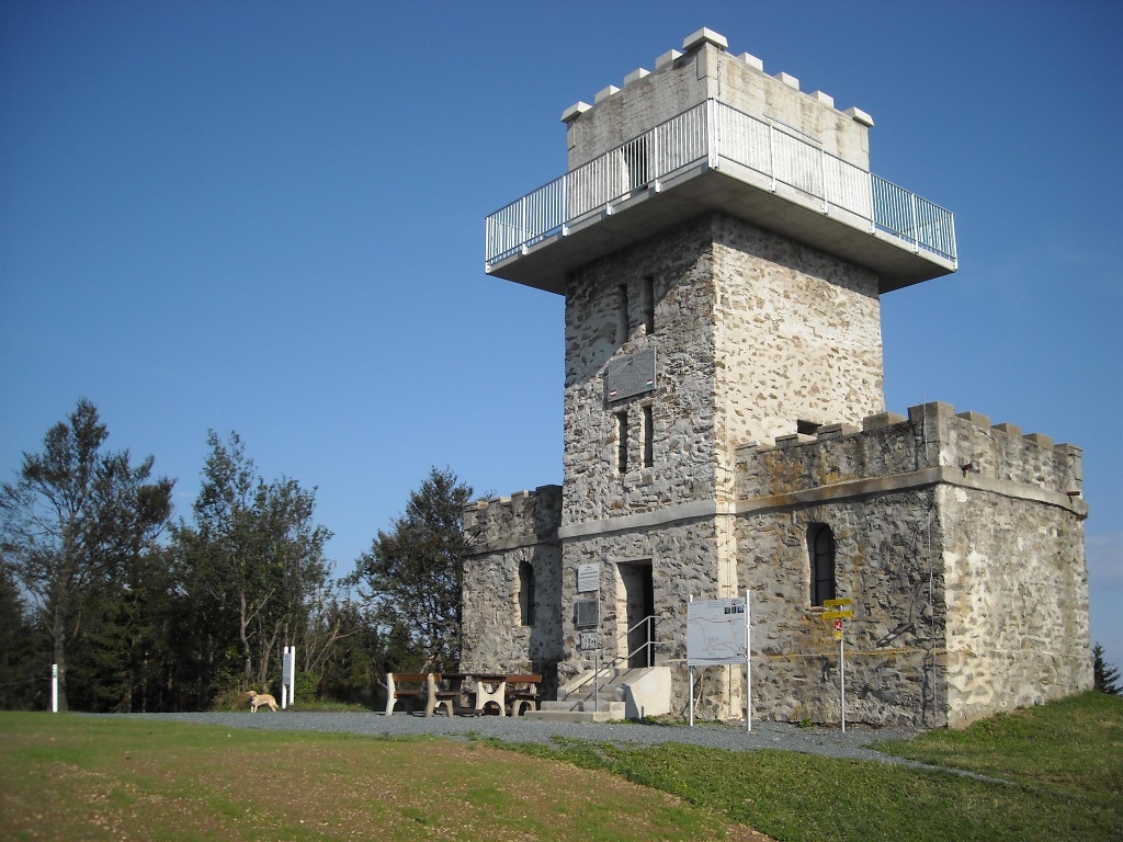
The highest point in Burgenland with the 884 m high border tower on the Geschriebenstein is on the royal stage from Köszeg to Lockenhaus. Four castles as starting points or stage destinations make this hiking route unique. The tour is not only a pleasure for long-distance hikers, but also offers those interested in culture an additional offer through the exhibitions at the castles and palaces along the route.
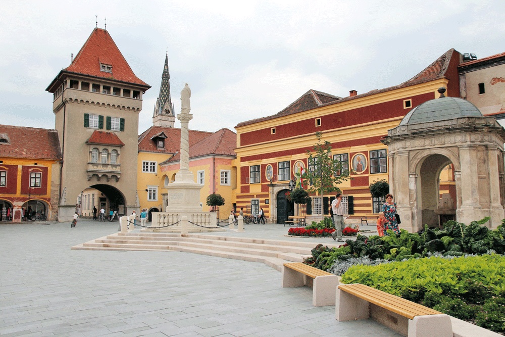
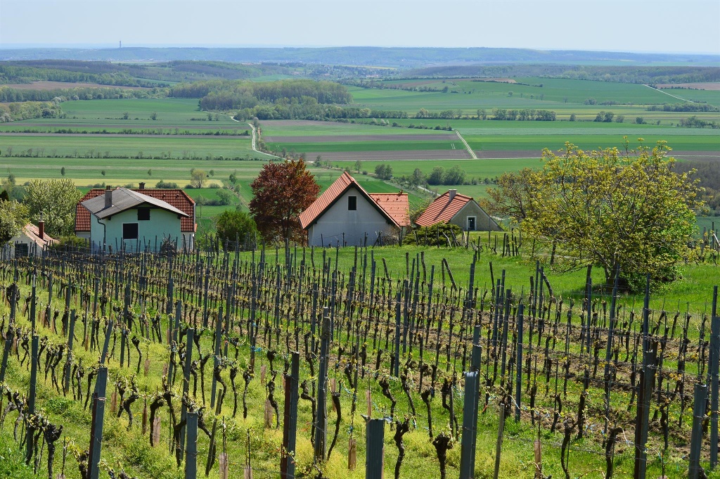
The five stages take you through the entire Güns Mountains to the transition to the Pannonian Plain in Köszeg. As a high-altitude hiking trail, the route mainly leads along natural paths through forest and wine-growing areas with magnificent panoramic sections. The Rechnitz to Köszeg stage in particular leads along the Rechnitz vineyards through the "suburban vineyards" to the city center of Köszeg, one of the most beautiful cities in Hungary (awarded the Jószef Hild Architecture Prize).
Since it is a high-altitude and panoramic trail and mainly on natural paths, a small daily supply package (drinks, snack) is recommended!
Mainly on natural paths, stage from Lockenhaus to Bernstein partly on bike path B58.
Trail markings:
Stage Bernstein to Stadtschlaining:
Section a) Bernstein to Goberling on alpannonia main route (red marking)
Section b) Goberling to Stadtschlaining on alpannonia feeder route (yellow marking)
Stage Stadtschlaining to Rechnitz
Section a) Stadtschlaining to Hirschenstein on alpannonia feeder route (yellow marking)
Section b) Hirschenstein to Rechnitz on alpannonia feeder route (yellow marking)
Stage Rechnitz to Kőszeg (town center)
Follow the entire stage marking "Geschriebenstein-Roas" (blue marking/icon)
Stage Kőszeg to Lockenhaus
Section a) Kőszeg to Geschriebenstein tower on alpannonia main route (red marking)
Section b) Geschriebenstein to Lockenhaus on alpannonia feeder route (yellow marking) or marking WW 07 (red/yellow)
Stage Lockenhaus to Bernstein
Section a) Lockenhaus to Weißenbachl on marking "Geschriebenstein-Roas" (blue marking/icon)
Section b) Weißenbachl to Holzschlag on circular hiking trail Unterkohlstätten no. 1
Section c) Holzschlag to intersection L364/B50 about 1.8 km on road L364
Section d) Intersection L364/B50 on farm road 4.5 km via Langau and Oberhasel to Bernstein
Plan time to visit one of the castles and palaces. As a rest day between stages or as an extra overnight stay after the hiking tour.
Leider können wir Ihnen zum jetzigen Zeitpunkt keine Wetterdaten für den Ort anzeigen.