
2-day circular hike from Payerbach to Knofeleben

Hiking tour Starting from Payerbach station
This enjoyable two-day hike leads from Payerbach through Reichenau an der Rax and Kaiserbrunn to the Naturfreundehaus Knofeleben and back to Payerbach via the Regional Route.
This enjoyable two-day hike leads from Payerbach through Reichenau an der Rax and Kaiserbrunn to the Naturfreundehaus Knofeleben and back to Payerbach via the Regional Route.
This two-day hike in the Rax-Schneeberg region offers a colorful variety of landscapes. Following the Wasserleitungsweg trail, we hike through the rushing Höllental valley to Kaiserbrunn before tackling the steep, scenic ascent along the Miesleitensteig trail to the Naturfreundehaus Knofeleben. After a restful night and a hearty breakfast, the regional Route J takes us along leisurely forest and alpine trails across the Bodenwiese to the Waldburgangerhütte, where the descent to Payerbach begins. The detour to the stunning Jubiläumsaussicht viewpoint is absolutely worth it.
Your hikes in the Vienna Alps should be a thoroughly pleasant and safe experience. Please consider the following:
Preparation
Make sure when choosing the route that it matches your mountain experience and fitness. Check the weather report in advance. The weather can change surprisingly fast in the mountains. Therefore, always set out appropriately equipped (e.g., rain protection).
Check whether the huts and snack stations you want to visit on the way are open. Inform someone about the chosen route and your planned return before you set off.
Always bring appropriate hiking maps. Wear sturdy shoes suitable for the hike, and bring sun and rain protection, as well as water and a light snack. Bring your cell phone and save the mountain rescue emergency number: 140
On the first day of our hike, we’ll set out from Payerbach along the Vienna Aqueduct Trail, passing through Kaiserbrunn and along the Miesleitensteig to the Knofeleben Nature Friends House.
From the Payerbach-Reichenau train station, we cross the station square and walk down the steps to the Payerbacherhof. Here, we cross the traffic-light-controlled main street. We cross the Schwarza River and turn right in front of the Alber pastry shop, hike past the pavilion and the outdoor pool, through the railroad viaduct, and along the Schwarza River (Fischerpromenade) all the way to Reichenau. At the parking lot, we turn right onto the main street, walk briefly to the right, and then immediately left onto Barbarapromenade until we reach Schlossplatz.
Behind the castle—first mentioned in the 13th century and well worth seeing—we turn left onto Haabergstraße and follow the riverside path alongside the Höllentalbahn tracks for quite some time. We are also already on the Wasserleitungsweg here, which we will subsequently follow through the Höllental valley. We follow the path to the Rax Bräu. Here, we follow the road; at the main street, we turn right and walk past the cardboard factory. At the Windbrücke, we join the 1st Vienna Aqueduct Trail to Kaiserbrunn, which was established in 1998 to mark the 125th anniversary of the Vienna High-Source Water Pipeline.
Occasionally, there are short sections to walk on metal grates; dogs, in particular, need to watch their paws here. Characteristic features of the Water Pipeline Trail include the almost constant ups and downs, the ample resting areas along the trail, and the alternating proximity to water and rock. The trail ends in Kaiserbrunn. We continue on to the Water Pipeline Museum (open May through October on Saturdays, Sundays, and holidays from 10 a.m. to 5 p.m.; weekdays by appointment only), where we can refill our water supplies with fresh water.
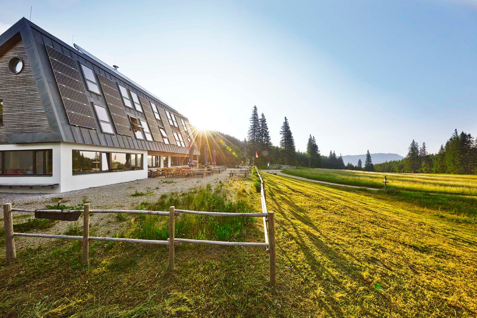
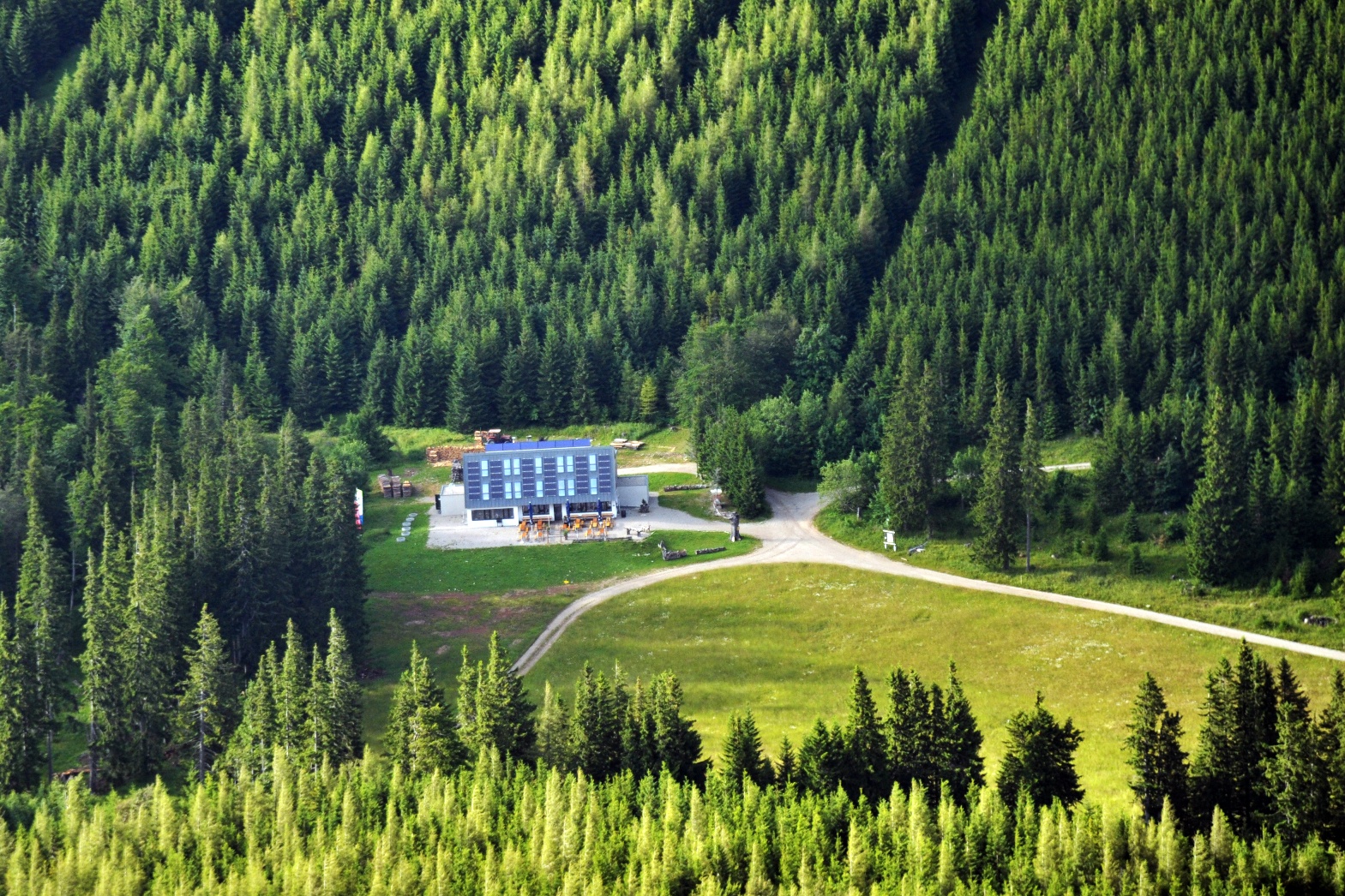
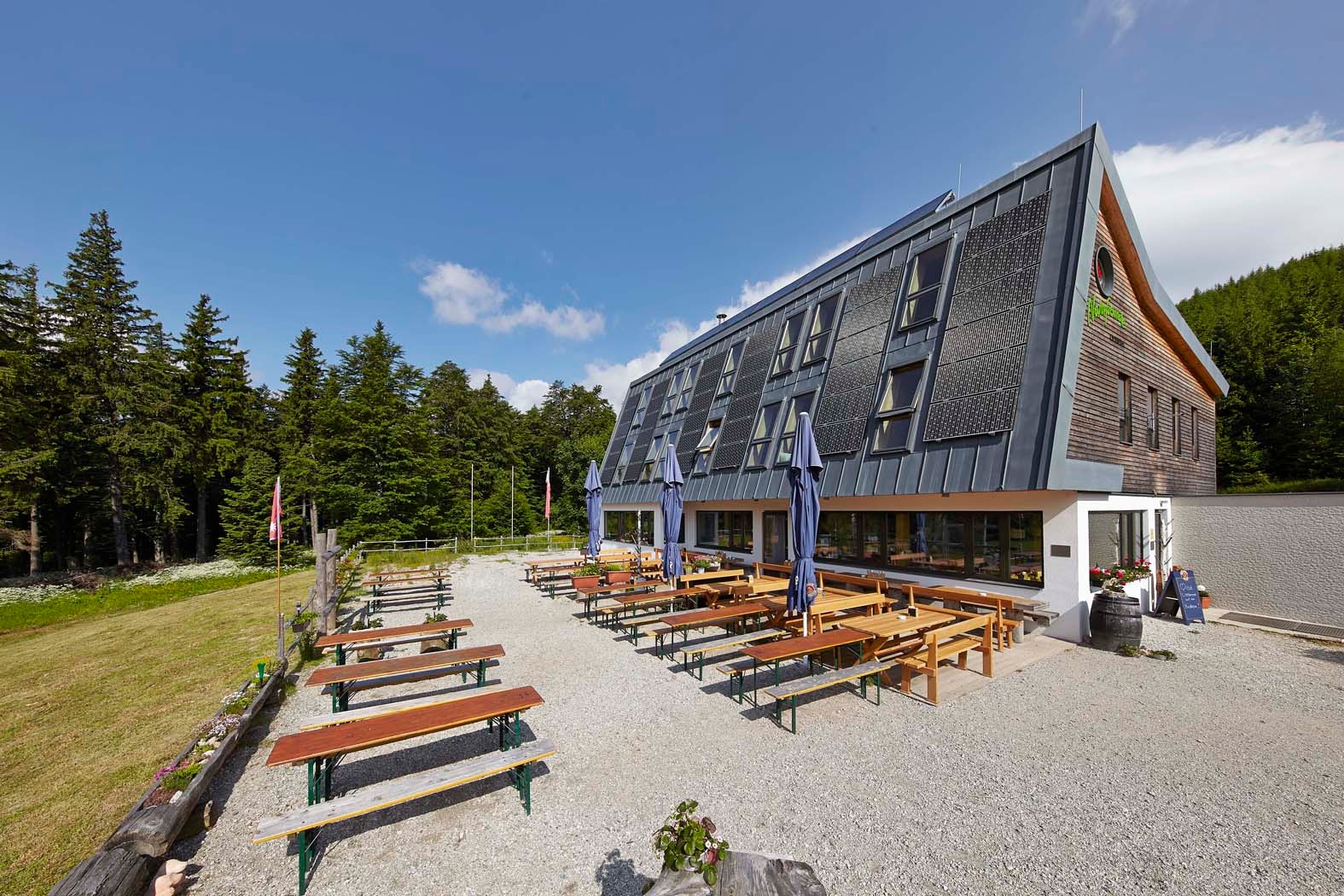
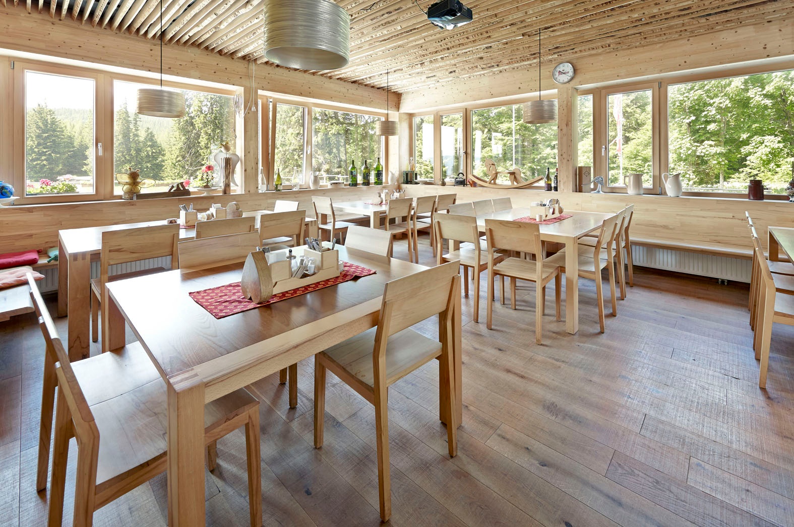
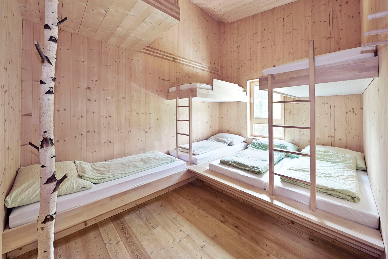
Passing the Water Pipeline Museum, we follow the marked trail into the valley, continuing along the signposted Miesleitensteig. On a steep scree slope, we need to watch out briefly for falling rocks; steel cables help with the ascent. Soon we reach the forest road. We keep to the left and reach the Knofeleben Nature Friends House —formerly the Friedrich-Haller-Haus—which reopened in 2012 and is our lodging for tonight. In 2014, the Knofeleben Nature Friends House was ranked number one as the “brightest hut in the Alps.”
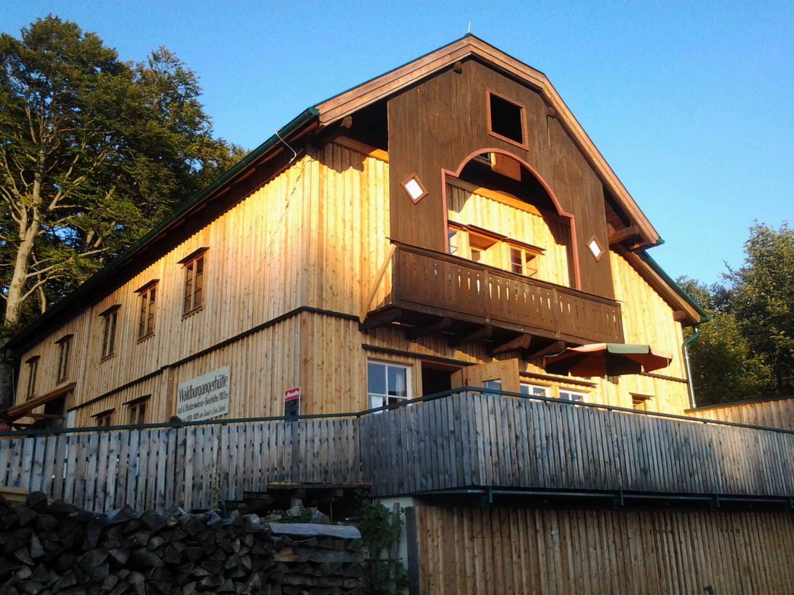
On the second day, we hike along the forest road in a southeasterly direction. We stay on the blue-marked forest road until we reach Bodenwiese. We first hike south along the meadow path, then, keeping to the left on the gravel road at the southern end of Bodenwiese, we reach the Waldburgangerhütte.
The hut, widely known for its Schöberl, is open on Saturdays, Sundays, and holidays from May through October (please check the hut’s opening hours). Across from the hut, the trails leading down to Payerbach begin. Here, we keep to the left and follow the signs toward “Bahnhof Payerbach via Hochberger.” We turn right onto the forest road and, after a few meters, switch to a blue-marked trail on the left leading to Payerbach. We cross a forest road, follow the trail, and stop by the Jubiläumsaussicht viewpoint. From here, you can look out over the Rax and Semmering regions. Back on the trail, we continue downhill along the Waldsteig, which is secured with chains in some sections. Nearly 300 meters below the Jubiläumsaussicht viewpoint, we come to an asphalt road that takes us past the former Hochberger farm and soon branches off again onto a forest path to the left. Shortly afterward, we cross the asphalt road once more and follow the blue-marked forest trail downhill. We hike down the upcoming farm road through two switchbacks and see the Payerbach-Reichenau train station ahead of us. We walk the last few meters through the underpass and reach the train station on our left.
Parking available at the station.
From Vienna on the A2 / From Graz on the S6, leave the motorway at the Gloggnitz exit. Continue on B27 following the signs to Payerbach/Reichenau.
Take the train to Payerbach-Reichenau station, the starting point of the route.
TIP: On site, you have the possibility to move individually with the Regionalbus 341 or with the RUFbus Semmering-Rax. Book the RUFbus with the Postbus shuttle app, via your accommodation or tourism offices.
For more information and timetables, visit fahrplan.oebb.at and anachb.vor.at
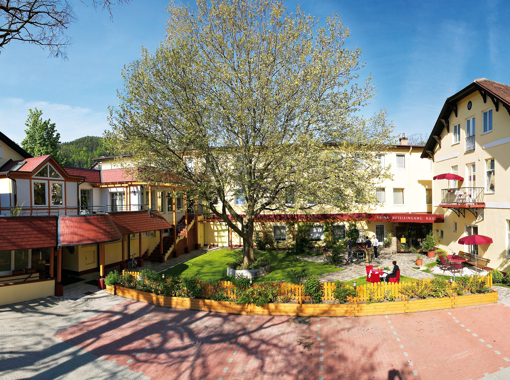
Day before: Arrival by train to Payerbach, overnight stay at Payerbacherhof
Day 1: Hike up to Naturfreundehaus Knofeleben, overnight stay there. (Attention: closed on Monday!)
Day 2: Descent, stop halfway at Waldburgangerhütte. Departure from Payerbach.
Especially on weekends, availability of a sleeping place at Naturfreundehaus Knofeleben (closed on Monday) must be checked by phone. Bring enough water, as drinking water sources between Kaiserbrunn and Payerbach are scarce. Please note that Waldburgangerhütte is only open on Saturdays, Sundays, and holidays.
Leider können wir Ihnen zum jetzigen Zeitpunkt keine Wetterdaten für den Ort anzeigen.
Vienna Alps in Lower Austria, www.wieneralpen.at, +43 / 2622 / 78960
Letzte Änderung: 9 Sept 2026