• Drei Personen sitzen am Ufer der Scharzach im Höllental am Wanderweg 1. Wiener Wasserleitungsweg und machen Pause. Rundum sie ragen Felden und Bäume in die Höhe.
    ©© Niederösterreich Werbung/Robin Uthe

The Höllental

Wild and romantic nature experience on the Schwarza between Schneeberg and Rax.

Rugged rock faces climb steeply upwards and crystal-clear drinking water bubbles between idyllic sandbanks at the bottom of the valley. The Schwarza in the Höllental is a wonderful place to relax and refresh yourself. Hikers and mountaineers can reach legendary routes where alpine history was written. The Höllental valley between Hirschwang an der Rax and Schwarzau im Gebirge is one of the most idyllic places in the Vienna Alps.

©© Niederösterreich Werbung/Robin Uthe

Hiking along the water pipe trail

The purest drinking water flows through the Höllental valley, which has been supplying the city of Vienna for almost 150 years.

Along the historic pipeline, which follows the natural contours of the landscape, you reach the Kaiserbrunn Water Pipeline Museum on the 3.7 kilometre-long water pipeline trail.

A trip to the Reichenau spa gardens with playground and café is ideal for children.

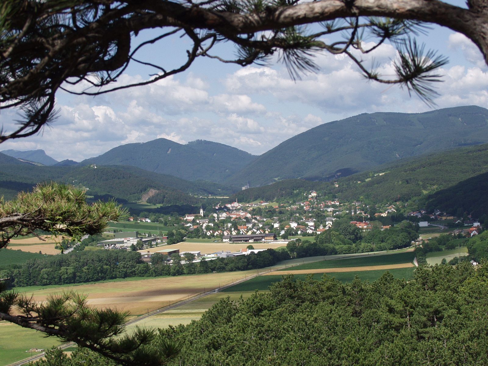
Höllental railway & Höllental view

From Payerbach railway station, the Höllentalbahn, a narrow-gauge museum railway with lovingly renovated railcars, leads past the magnificent summer resort villas directly under the Rax. The nearby Rax cable car is the most comfortable way to reach the alpine high plateau. By the way: the most impressive view of the rugged canyon is probably from the so-called "Höllental view" at 1,620 metres above sea level, not far from the summit station of the Rax cable car.

Climbing around the Weichtalhaus

The Weichtalhaus, a cosy hostel for hikers and climbers and a worthwhile destination for culinary excursions, is idyllically situated in the middle of the Höllental valley. The climbing centre right next to the Weichtalhaus offers courses for all abilities. More than 2,000 routes lure you into the legendary rock - everyone will find a suitable level of difficulty. A total of six via ferrata routes lead from Höllental to Schneeberg and Rax.

  • Illustrative image
    • Distance6,01 km
    • Duration0:55 h

    Laufstrecke Föhrenwald 6 km

    Tour
  • ©Wiener Alpen in Niederösterreich - Bad Schönau
    • DifficultyEasy
    • Distance7,14 km
    • Duration2:15 h

    Hike Krumbach: Castle - Kraxenberg

    Hiking tour Starting from Schlosswirtshaus
  • ©Wiener Alpen in Niederösterreich - Schneeberg Hohe Wand
    • DifficultyEasy
    • Distance2,19 km
    • Duration0:52 h

    Nature Park Hohe Wand - Animal Enclosure Circular Walk

    Hiking tour Starting from Nature Park Center - Kleine Kanzelstraße 241, 2724 Hohe Wand
  • ©Wiener Alpen in Niederösterreich
    • DifficultyModerate
    • Distance10,03 km
    • Duration3:00 h

    WAB - Regional Route C: Krumbach - Kirchschlag

    Hiking tour Starting from Krumbach municipal office, town center
  • ©Wiener Alpen in Niederösterreich - Bad Erlach
    • DifficultyModerate
    • Distance10,71 km
    • Duration3:05 h

    Winterwanderung in Pitten mit herrlichen Ausblicken

    Tour
  • The majestic mountains of the Rax invite you to unforgettable hiking adventures. A breathtaking view of the surrounding landscape stretches across green meadows and rugged rocks, shimmering in gentle hills and deep valleys. Here, where nature is in full bloom, you can feel the freedom and tranquillity of the mountains.
    ©Martin Matula
    • DifficultyDifficult
    • Distance6,32 km

    Törlweg Hirschwang-Ottohaus

    Hiking tour Starting from Hirschwang an der Rax
  • A row of different fruit juice bottles on a wooden beam outside.
    ©Familie Winkler

    Obstverarbeitung Winkler

    Ungerbach 30, 2860 Kirchschlag in der Buckligen Welt
  • ©z.V.g. Marktgemeinde Markt Piesting, Foto Werner Holy
    • DifficultyDifficult
    • Distance18,01 km
    • Duration5:15 h

    WAB - Stage 18: Waxeneckhaus - Markt Piesting

    Hiking tour Starting from Waxeneck mountain hut
  • ©Wiener Alpen
    • DifficultyModerate
    • Distance8,63 km
    • Duration3:00 h

    Playground path

    Hiking tour Starting from Church square Lichtenegg
  • A person rides a bicycle on a rural road, with a view in the background.
    ©Wiener Alpen, Philipp Schönauer
    • DifficultyModerate
    • Distance17,35 km
    • Duration1:15 h

    Weitblick-Route (far-view)

    Cycling tour Starting from Grimmenstein railway station