
Explore destinationWieneralpen.at

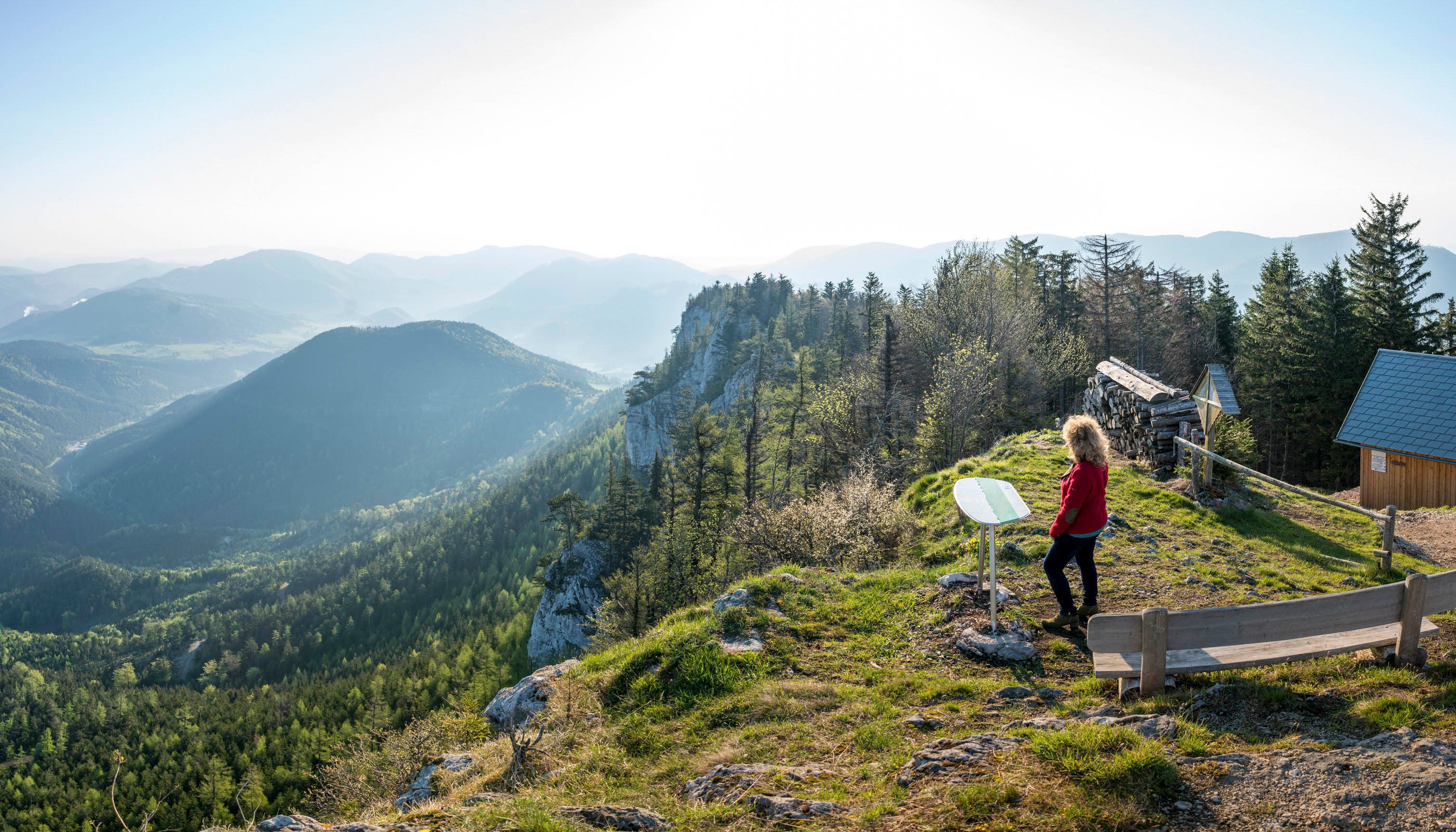
The Schneebergland region is particularly striking where the view opens up. At vantage points, the landscape becomes ‘clear’ – peaks, valleys and contours come together to form a distinct picture. As you walk, you’ll soon realise why the region has been regarded as a haven of peace for generations.
And the tour wouldn’t be complete without a stop for refreshments: huts and inns line the paths like natural landmarks – for something warm, a hearty meal or a short rest.
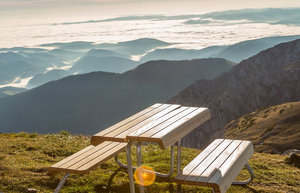
At 2,049 metres above sea level, this viewpoint offers sweeping views across the Schneeberg plateau and the surrounding mountains and valleys. On a clear day, you can even see as far as Lake Neusiedl. One way to reach the viewpoint is via the plateau hike from Hochschneeberg, which takes around 1.5 hours. Located right beside the viewpoint, the Fischerhütte is the perfect place to stop for refreshments after the hike.
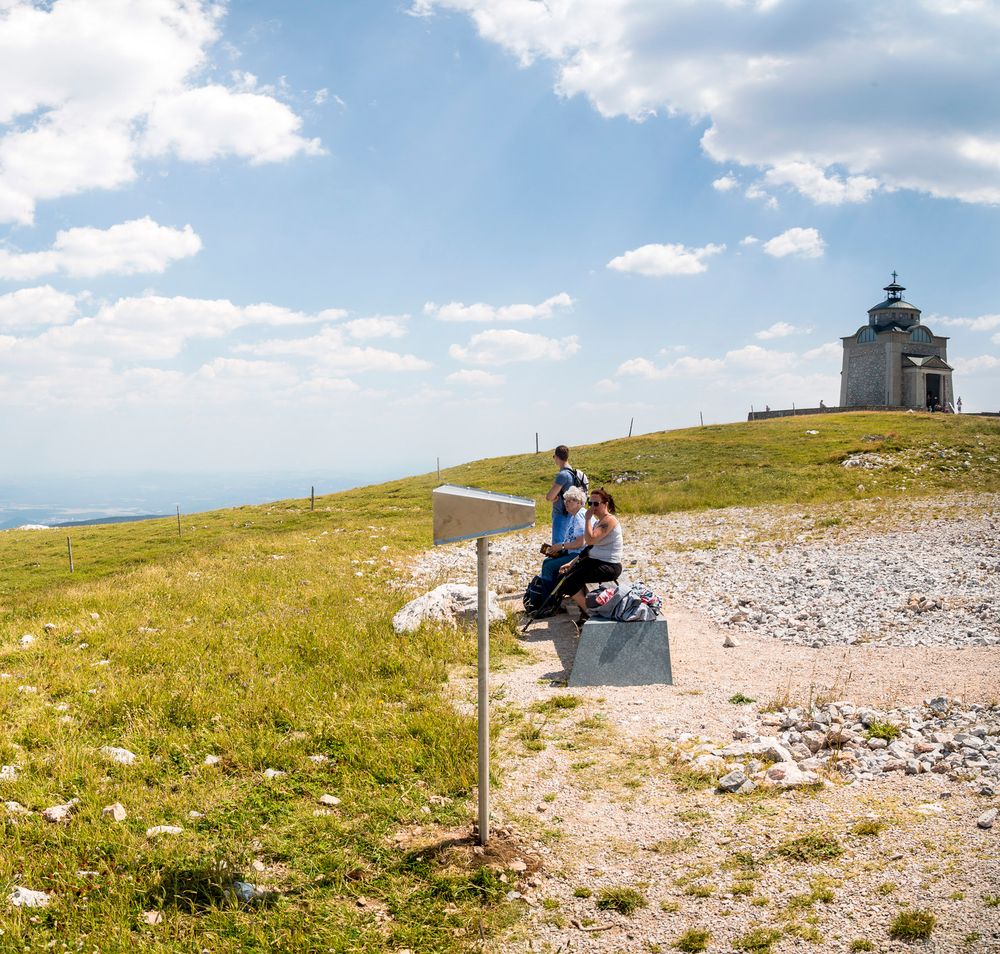
Located at 1,796 metres above sea level, the Elisabethkircherl Viewpoint is just a few steps from the mountain station of the Schneeberg Railway. From here, you can enjoy beautiful views of the valley and the surrounding mountains. The viewpoint is easily reached by the Schneeberg Railway or on foot, for example via the railway hiking trail.
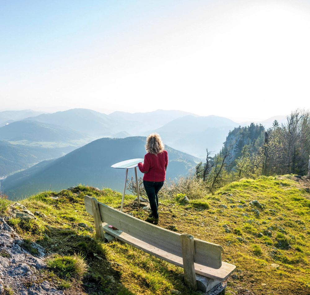
At 1,154 metres above sea level, this viewpoint beside the Gauermannhütte on the Dürren Wand offers an impressive panorama of the Gutenstein Alps and the Schneebergland. It can be reached, for example, on a hike from Miesenbach. The red-marked trail follows the Haselbach and leads to the summit in around 2.5 hours.
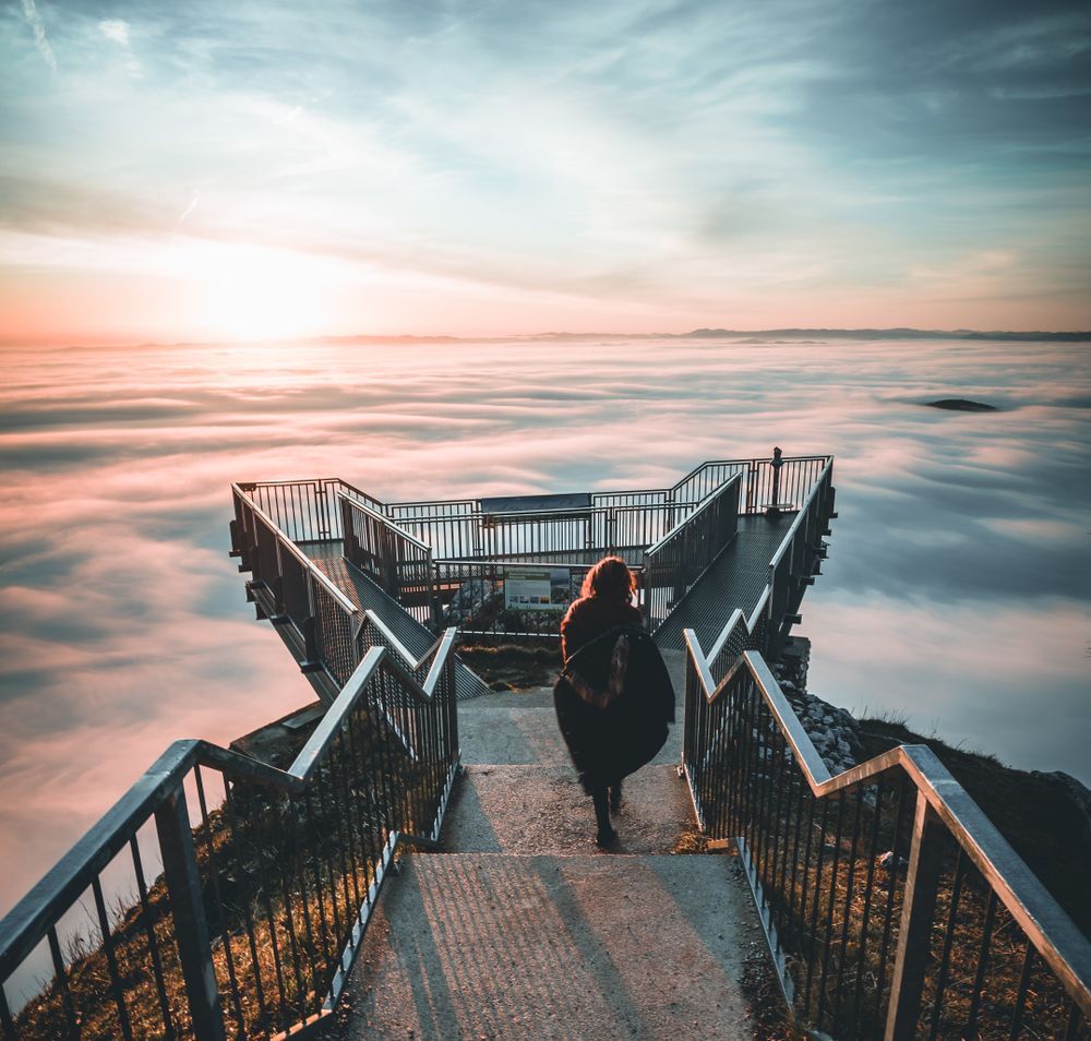
The Skywalk in the Hohe Wand Nature Park stands at 1,132 metres above sea level and is built directly into the rock face. The platform gives visitors the exhilarating sensation of standing above the precipice. The views stretch across the Vienna Basin to the Bucklige Welt and the Wechsel – and, on clear days, as far as Lake Neusiedl. Numerous mountain huts and inns nearby offer the perfect place to round off this thrilling excursion.
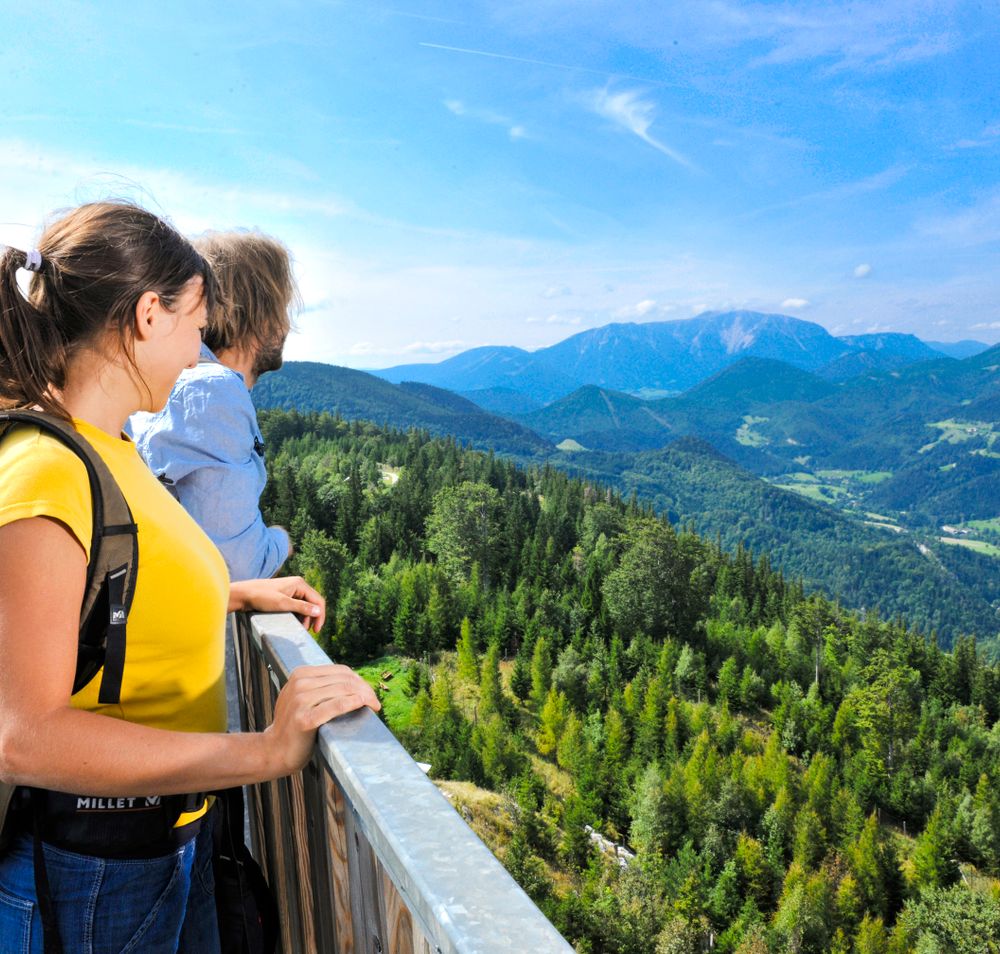
The observation tower in the Hohe Wand Nature Park stands at more than 1,000 metres above sea level and can be reached from the nature park centre in just 10–15 minutes. After climbing 120 steps, visitors are rewarded with panoramic views across the Piesting Valley towards the Schneeberg and, on clear days, as far as the Ötscher. The nearby Naturparkstüberl is an inviting place to stop for refreshments after the excursion.
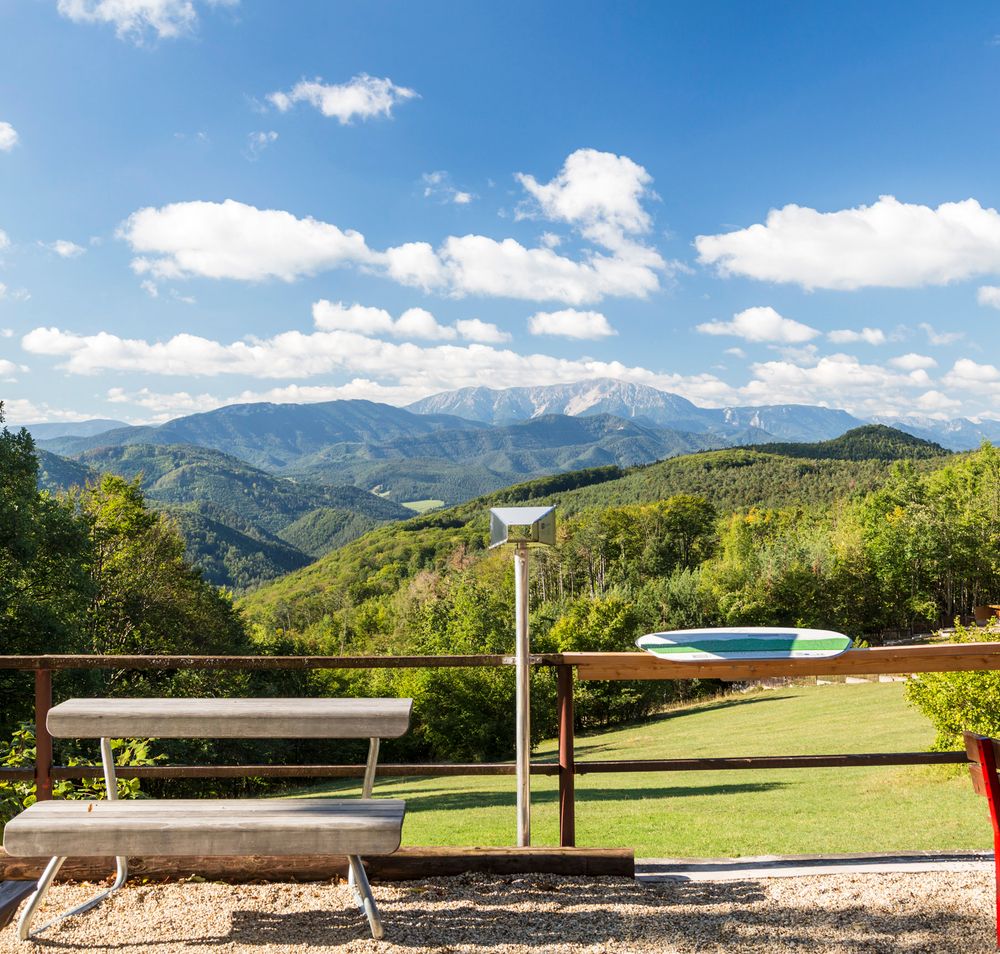
At 740 metres above sea level, this viewpoint offers wonderful views of the surrounding mountains and valleys, with the Schneeberg rising in the distance. It can be reached on an approximately 30-minute walk from the car park at Hals Pass or conveniently by car. Located directly at the viewpoint, the Waxeneckhaus is an inviting place to stop for refreshments.
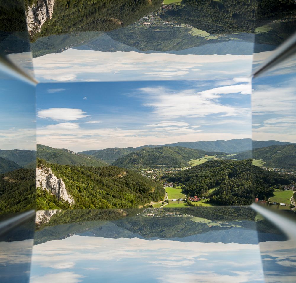
At 664 metres above sea level, this viewpoint offers wonderful views of the village of Muggendorf and the surrounding mountain landscape, extending as far as the northern cliffs of the Schneeberg. It can be reached via the Biedermeier circular hiking trail or the Myra Falls. The final ascent to the summit is short but steep and follows a path covered with exposed tree roots.