Out and about on the Arc of the Viennese Alps
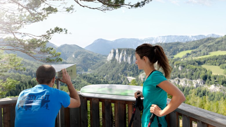
Countless viewing points along the Arc of the Viennese Alps invite you to linger
The trail along the Arc of the Viennese Alps includes 19 stages, and hiking routes covering around 300 kilometres. Thanks to the clear signposting, you can join the trail at any time, and enjoy the beauty of the Vienna Alps in small doses.
On the almost 300-kilometre-long trail along the Arc of the Viennese Alps (WAB), visitors can experience the landscape at their own pace. If you want to follow the signposted route in its entirety, it begins in Katzelsdorf. However, hikers can join one of the 19 stages of the route at any of the starting points, and explore the mountain landscapes of Rax, Schneeberg and Hohe Wand immediately. The entire route is marked out by yellow hiking signs bearing the blue Vienna Alps logo.
On your marks, get set, go!
At the beginning and end of each stage, there is a starting point, and you will pass several viewing points along the way. Depending on their design, they are equipped with the following:
Regional routes
Regional routes are additional hiking routes leading towards the Arc of the Viennese Alps. They are linked to it, and allow circular walks in conjunction with the main route. The regional routes are marked by yellow hiking signs bearing the green Vienna Alps logo.
New perspectives
The Vienna Alps Viewer is a periscope-like device, which gives a new perspective of a visual paradise such as the one which can be seen from the “20-Schilling-Blick” viewpoint in Semmering. A portable version (known as a “Hand Viewer”) is also available, which despite measuring just a few centimetres, always gives the user surprising insights into the Vienna Alps.


