Winter Hiking Trail to the Steyersberger Schwaig
Waldbrandgefahr:
Praktische Tipps für ein sicheres Naturerlebnis
Winterwanderweg zur Steyersberger Schwaig
Tour Starting from Turn around after the reservoir
Entertaining winter hike to the Steyersberger Schwaig
- Starting point of the tour
- Turn around after the reservoir
- Tour destination
- Steyersberger Schwaig
- Fitness level required:3/6
- Overall experience:3/6
- Scenery:3/6
- Lowest point
- 1078 m
- Highest point
- 1365 m
Entertaining winter hike to the Steyersberger Schwaig
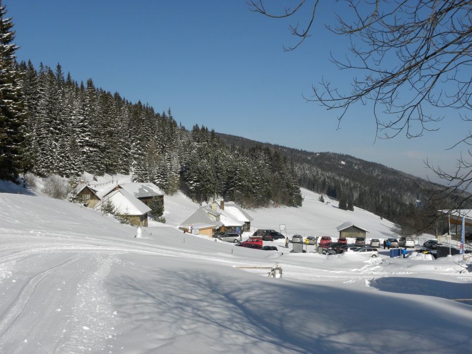
This hike starts shortly after the Eisenhuber reservoir in the hairpin bend. Uphill, always along the forest path, the trail leads directly to the Steyersberger Schwaig. Return via the same route or along the road back to the starting point.
Always bring appropriate maps with you. Wear sturdy shoes suitable for the hike. Bring your cell phone and save the mountain rescue emergency number: 140
Preparation
When choosing a route, make sure it matches your experience and fitness level. Check the weather forecast in advance. The weather in the mountains can change surprisingly quickly. Therefore, always set out with the appropriate gear (e.g., rain gear).
Check to see if the mountain huts you plan to visit along the way are open. Let someone know your route and your planned return time before you set out.
There are a few parking spaces right at the bend after the reservoir.
By car, take the A2 and exit at Aspang/Edlitz – Kirchberg am Wechsel – then head toward St. Corona on State Road 137. Continue for 1 km past the town limits, then turn right and follow the road for 6 km.
or
Take the A2 – S6, exit at Gloggnitz – Otterthal – Kirchberg am Wechsel – toward St. Corona on State Road 137; continue for 1 km past the town limits, then turn right and follow the road for 6 km.
A place to stop for refreshments at the Steyersberger Schwaig
Recommended period
J
F
M
A
M
J
J
A
S
O
N
D
Leider können wir Ihnen zum jetzigen Zeitpunkt keine Wetterdaten für den Ort anzeigen.
Kirchberg am Wechsel Tourist Office
Letzte Änderung: 3 Aug 2026